Accessibility settings

Settings are saved in this browser and apply on every page of the site.

Text size 100%

Accessibility is built into the site code. This menu is an extra, not a substitute.

עב Talk to us

About

Geography first. Technology second.

HAMMER GIS is an Israeli GIS company specialising in local authorities and public bodies. We collect data in the field, turn it into layers you can trust, and build the tools people use to work with them every day.

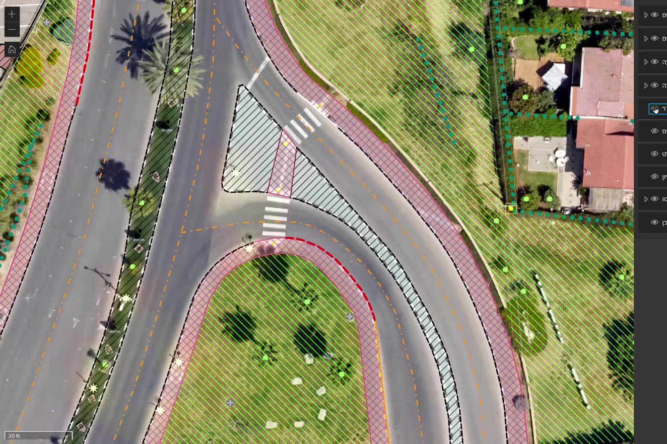
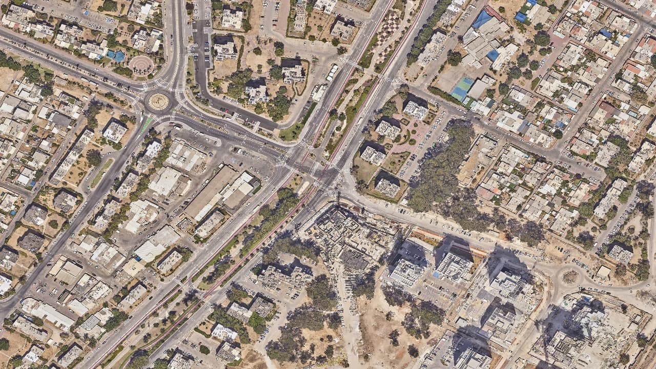
Aerial photo becoming layers: crossings, pavements, plants

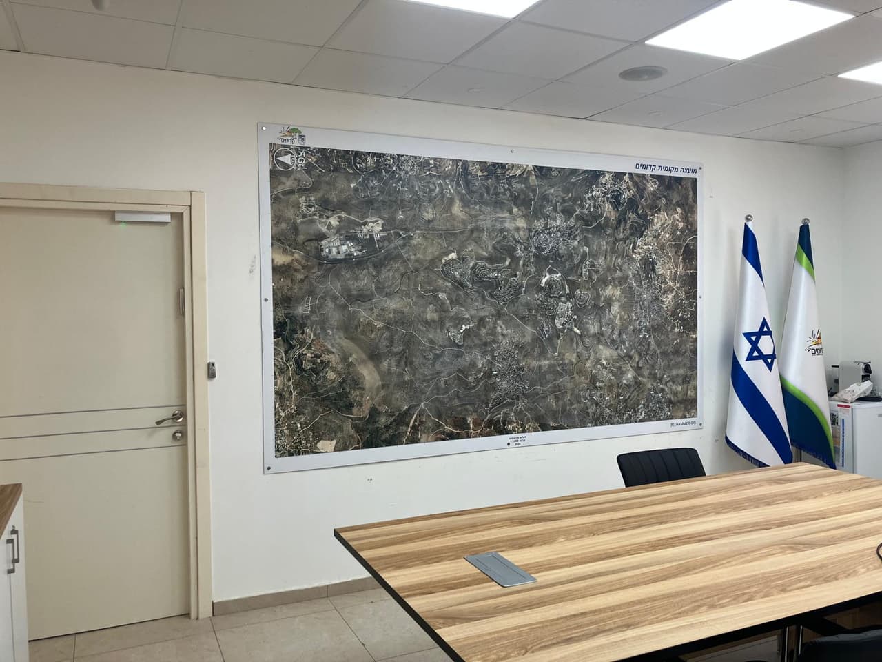
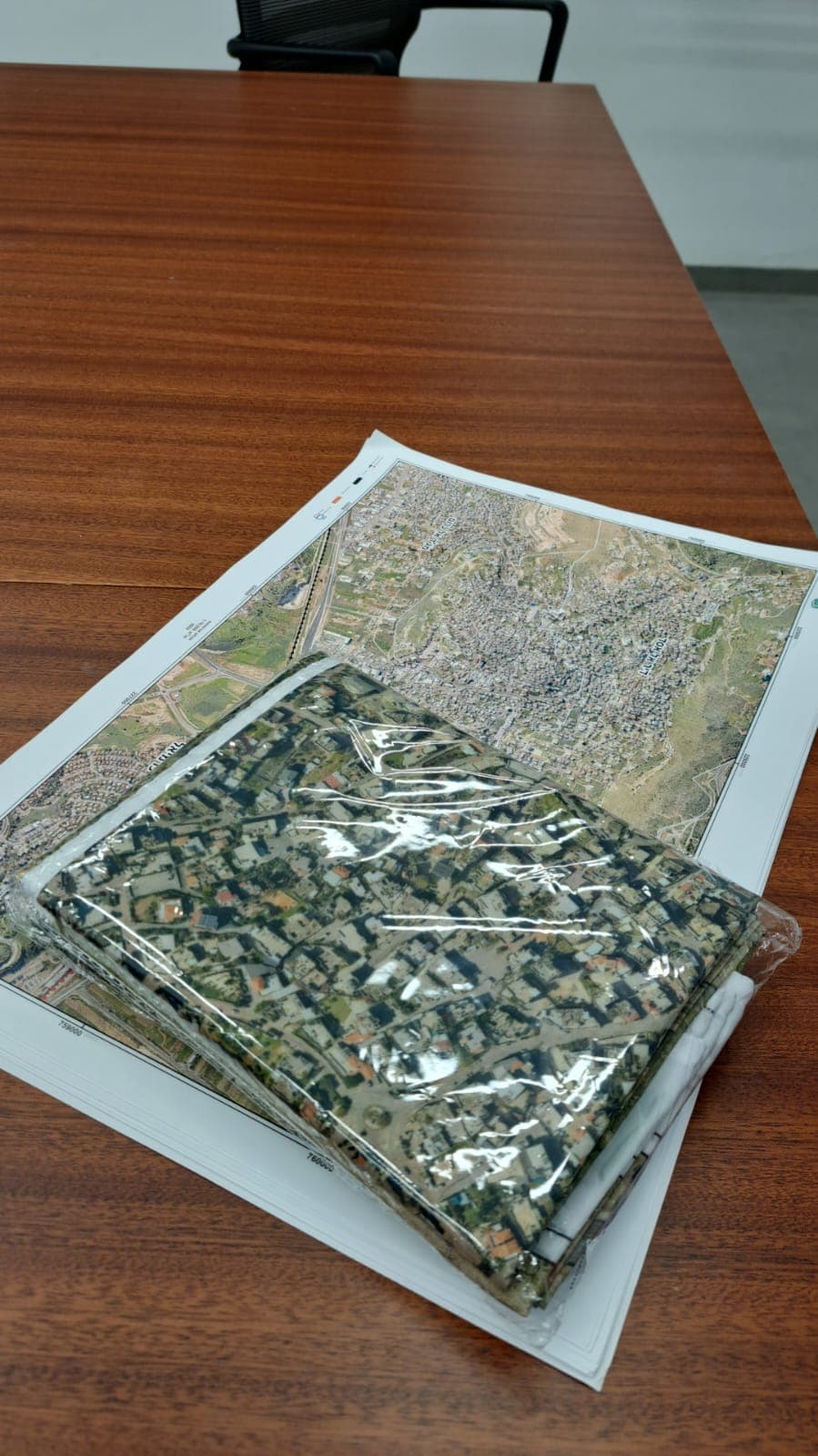
Large aerial wall map in a meeting room
Aerial wall map in a meeting room

Our story

We started in the field, and we stayed there

HAMMER GIS was founded by Lior Hamer, who has worked in mapping and geographic information for nearly two decades. Before his military service he studied architecture in the IDF academic reserve programme, and he then served in the IDF mapping unit. From there he moved into aerial photography and photogrammetry, statutory planning in Judea and Samaria, and international projects at a global transport and urban planning firm.

The same picture kept coming back: authorities hold a great deal of data, but it is scattered, out of date and hard to work with. HAMMER was set up to close that gap, with methods that fit a municipality's budget and pace, and with software written from what we saw in the field.

Today we work with municipalities, councils and public bodies across Israel: surveying, mapping, converting, building and supporting. All under one roof.
Our mission

Give every authority an accurate, current picture of its territory, and the tools to act on it.

No jargon, and no systems nobody opens. Behind the scenes the work is complex; in front of you it should be simple. That is what Data Is Everything means to us: good data is only worth something when someone uses it to decide.

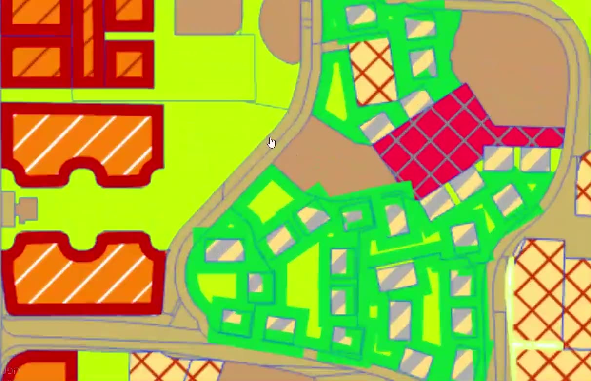
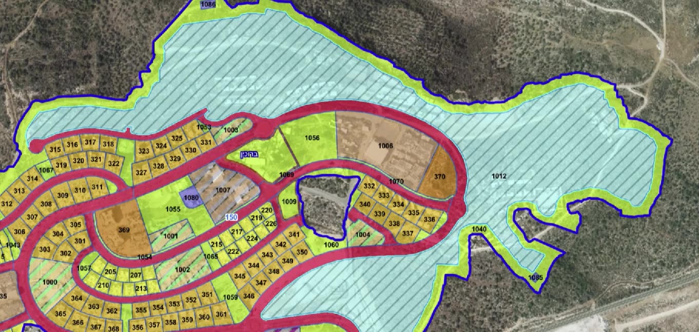
A DWG plan loaded as GIS layers over the aerial photo

Approach

How we work: station by station

Like a survey traverse, each station is closed and checked before we move on to the next.

  1. TAKE 01 · ST-01ListenWe start from the problem, not the product: who works with the data, what they are missing, and what success looks like.
  2. TAKE 02 · ST-02Go to the fieldWe check what really exists: on the street, in the aerial photo and in the layers you already have.
  3. TAKE 03 · ST-03Build layersWe collect, convert and clean, and every layer gets a source, a date and a quality check.
  4. TAKE 04 · ST-04Connect to the systemThe layers go into the tools your team already uses, or into one we build for them.
  5. TAKE 05 · ST-05Stay with youTraining, support and improvements, for as long as the system works for you.
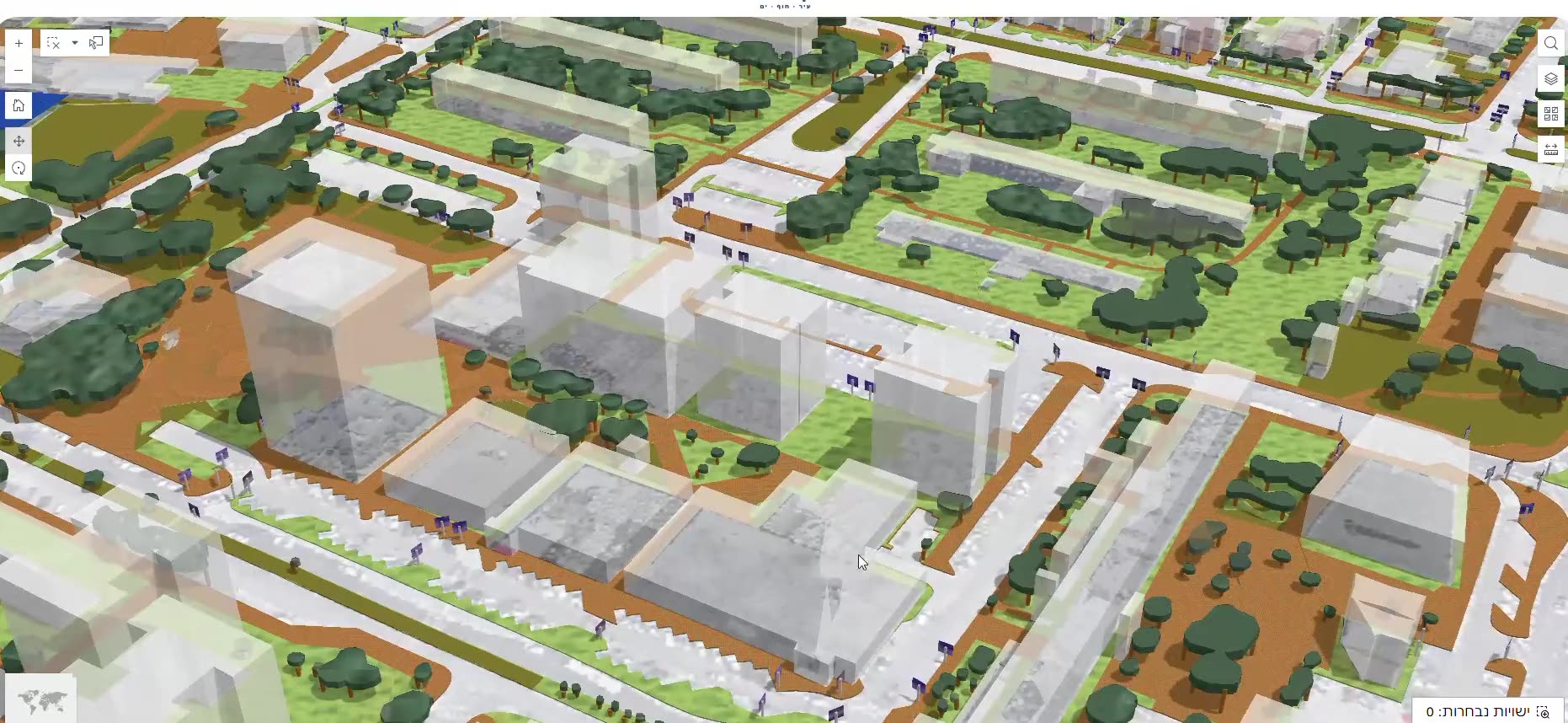
Fly-through of a 3D city: buildings, trees, pavements

Values

What guides us

  • Professional integrityWe say what works today and what is still in development. Illustrations are labelled, and an unchecked number never leaves our hands.
  • ListeningEvery project starts with questions. The right solution comes from the authority's process, not from our catalogue.
  • SimplicityComplex work, simple interface. If a clerk needs long training to find an address, we're not done yet.
  • Full accountabilityThe people who survey are the people who pick up the phone after delivery. There is no one to pass the buck to.
  • CuriosityWe test new methods, such as AI on aerial photos, and adopt them only once they pass the test.
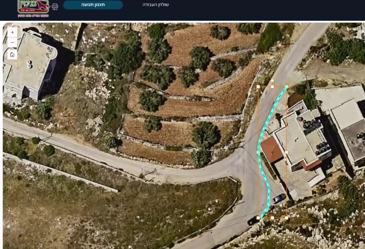
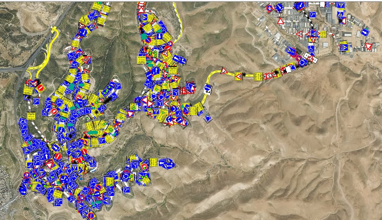
City-wide traffic-sign points spread over hilly terrain
City-wide sign points over hilly terrain

What makes us different

We survey, map and build software. Under one roof.

The market has survey firms and it has software houses. We are both, so data collected on the street reaches the system without passing between vendors.

  • One partner, field to systemSurvey, conversion, software, training and support from the same team. When something isn't right, you know whom to call.
  • Our own softwareHAMMER CITY and CADabra are live, alongside SIGNYX, SEE.GMMA and CLIMYX at different stages of development and pilot. Each was built from a need we met in the field.
  • Built for Israeli authoritiesThe Israeli grid (ITM), the MABAT planning standard, the Survey of Israel mapping spec and Ministry of Transport sign codes. Hebrew right to left, not as a translation.
  • We build on what you haveHAMMER CITY runs on your own ArcGIS Online. We don't replace your infrastructure; we make it work.
  • AI with human reviewAI finds, professionals check and approve. That keeps both the speed and the accuracy.
  • Honest about maturityLive, pilot or concept: it says so next to every product, so you can plan budgets and schedules around it.

Want to get to know us?

Tell us what you want to move forward and we'll set up a short call. No long slide deck, just good questions.