
 Pilot
From orthophoto to GIS layer, with AI assistance and human review
SEE.GMMA helps a GIS professional produce city-scale vector layers from large aerial images. The NOW module splits the image into tiles, sends only the tiles you select for AI analysis, and turns the result into vectors with a local engine. The WHEN module searches free satellite archives to find when a place changed.
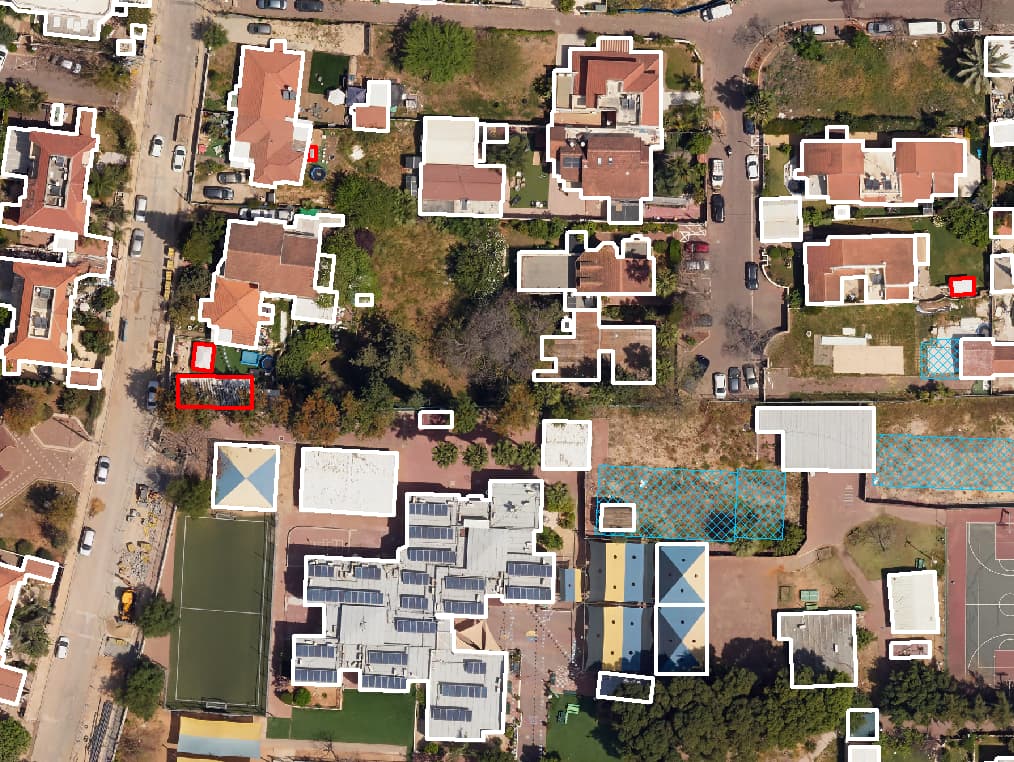
Aerial photo becoming layers: crossings, pavements, plants
The problem
A whole city, one polygon at a time
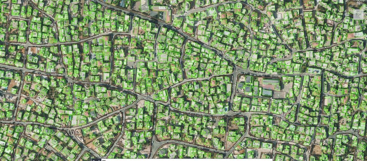
Digitizing a city from an orthophoto by hand is slow, grinding work: roads, pavements, buildings, parks, kerbs and parking, one after another. And anyone who needs to know when a building went up or a green area disappeared ends up flipping through old photos with no method.
NOW · current state
From aerial photo to vector layers
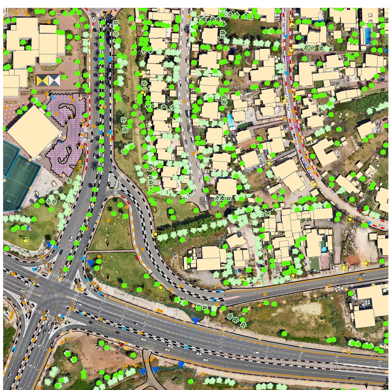
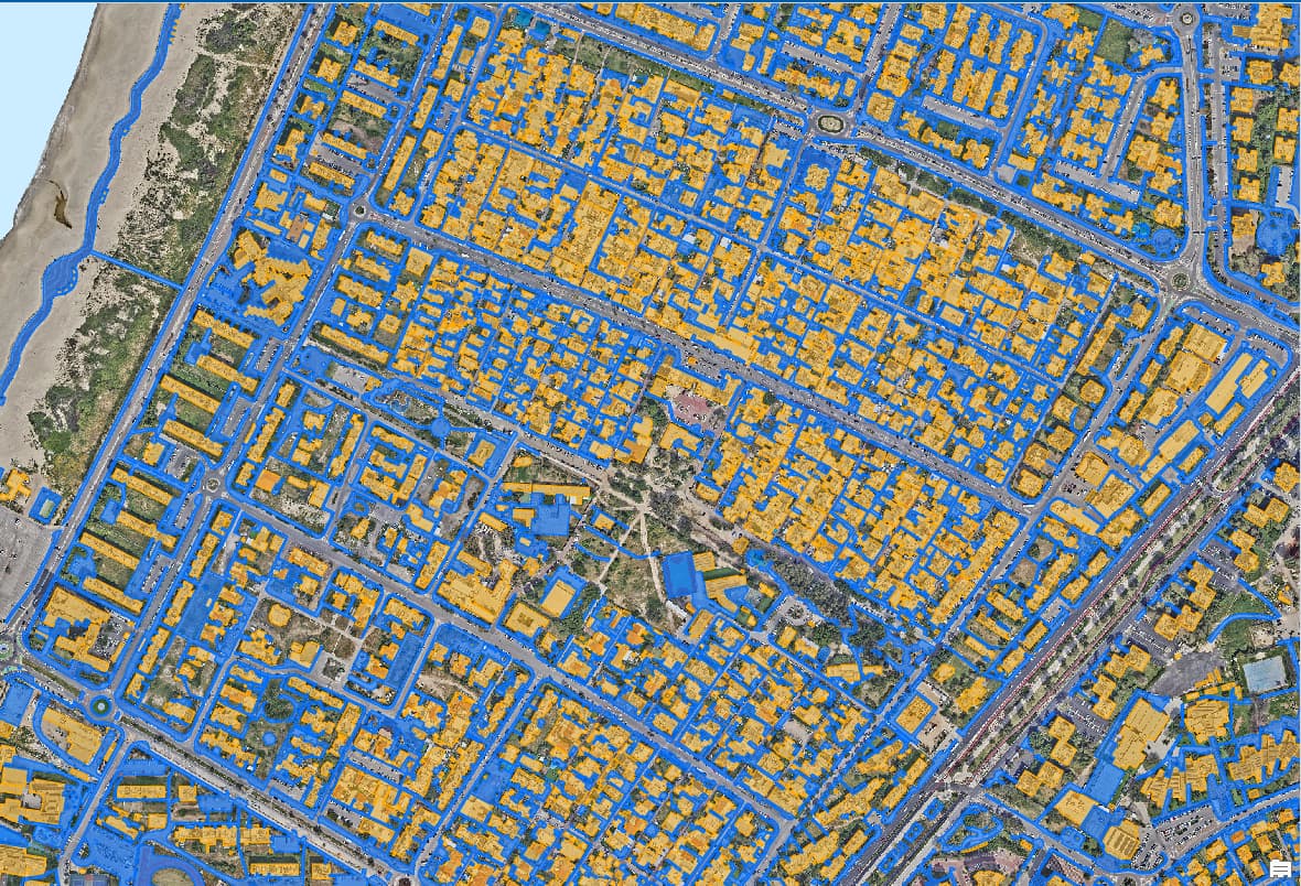
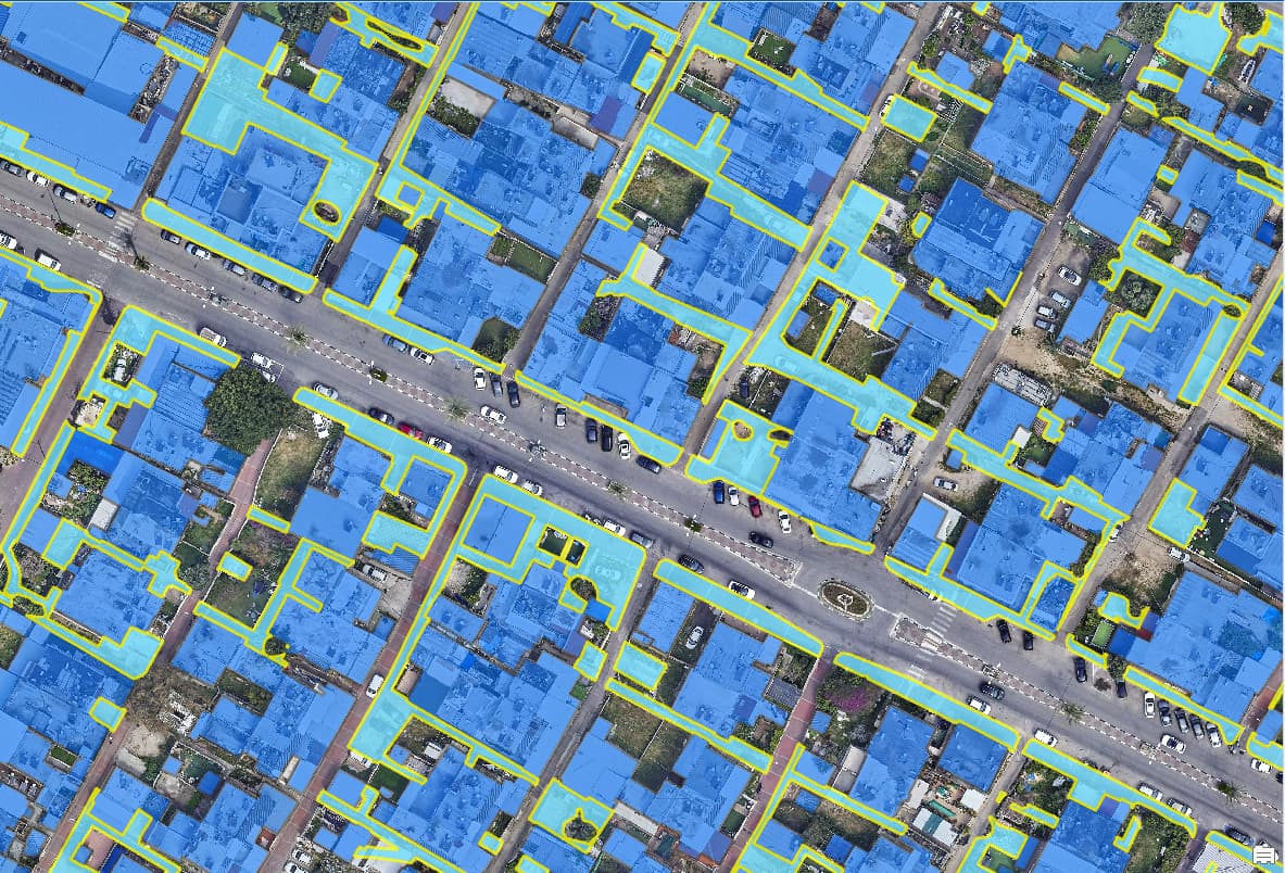
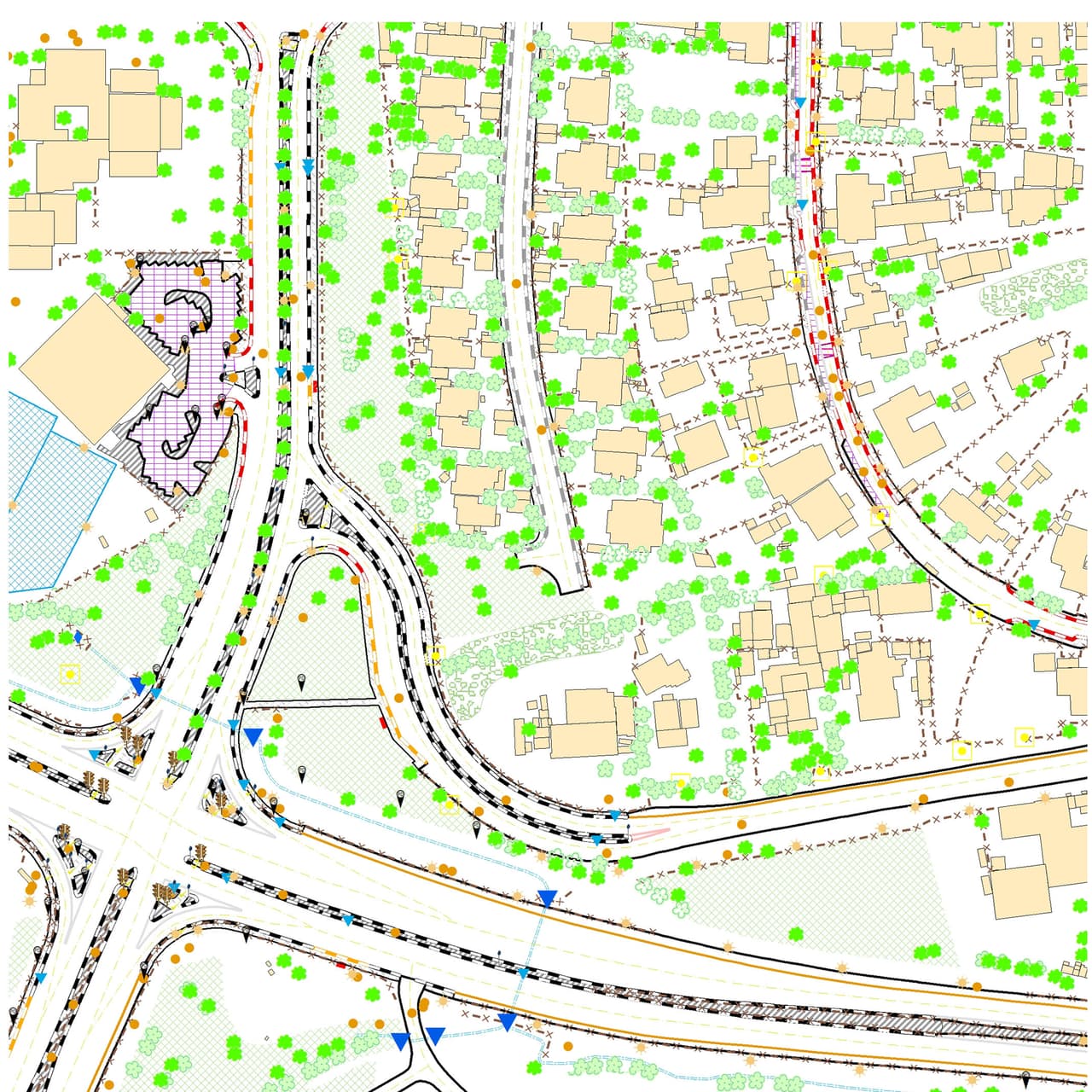
NOW targets urban surface layers such as roads, pavements, buildings, parks, kerbs and parking.
- Large orthophotos, in placeECW and SID files open where they are, without copying, showing CRS, extent and resolution.
- A persistent processing gridTile selection with sea and blank-tile exclusion and an area of interest.
- Only the tiles you chooseOnly explicitly selected tiles are sent to a Google Gemini image model, interactively or in batch, with a cost estimate up front and no paying twice for the same tile.
- Deterministic vectorizationA local engine turns the result into areas and lines, stitches seams between tiles and merges blocks.
- ExportGeoPackage or GeoJSON, in the source CRS or in ITM.
- An audit trail per tileEvery AI result keeps the model, prompt version, tile ID and raw response.
WHEN · when did it change
Forty years of satellite archive, answered in two dates
- Pick a cellDraw it, load SHP, GeoJSON, GPKG or KML, or pick from the tiles.
- Search backUp to 40 years back: Landsat from 1984 at 30 m, and Sentinel-2 from 2017 at 10 m.
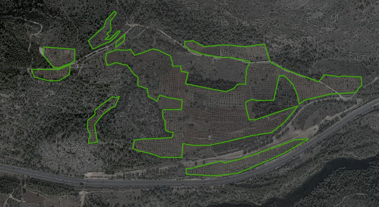
- Four kinds of changeWater, vegetation, built-up or bare soil.
- Two datesThe last date the change had "not yet" happened, and the first date it had "already" happened.
- Cost and time firstAn estimate before anything runs.
- Clear limitsWHEN detects changes at lot scale or larger, and a person must confirm every change.
How it works
Seven stations from photo to layer
- TAKE 01 · ST-01Open the orthophotoThe file stays where it is.
- TAKE 02 · ST-02Grid and selectionChoose tiles; exclude sea and blank areas.
- TAKE 03 · ST-03Cost estimateSee what the analysis will cost before it runs.
- TAKE 04 · ST-04AI analysisOnly the selected tiles go to the model.
- TAKE 05 · ST-05VectorizationA local, deterministic engine turns the result into areas and lines.
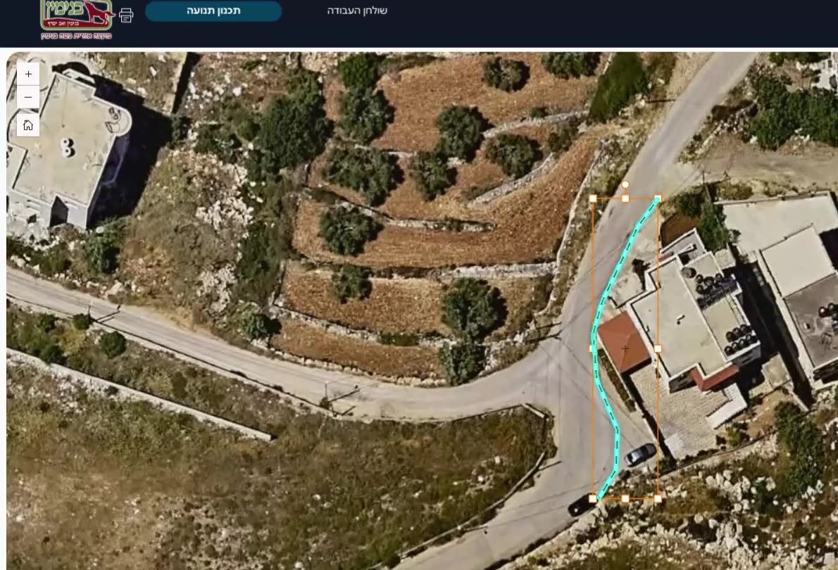
- TAKE 06 · ST-06Review by a GIS professionalThe output is checked and edited before it becomes a layer.
- TAKE 07 · ST-07ExportGeoPackage or GeoJSON, in the source CRS or ITM.
Principle
AI assists. A person decides.
SEE.GMMA doesn't promise automatic mapping. NOW output is checked and edited by a GIS professional before it becomes a layer, and changes found by WHEN wait for a person to confirm them. The dedicated review tools, including snapit, a browser editor for polishing layers collaboratively, are still in development.
What happens to your imagery
Straight answers about data
- The full image stays putThe orthophoto file opens in place and is not copied.
- Selected tiles go out for analysisThe tiles you choose, and only those, are sent to Google Gemini. Worth knowing before you select.
- Every result is loggedModel, prompt version, tile ID and raw response for every AI result.
Who it's for
For anyone who needs layers from aerial imagery
- GIS professionalsCity-scale vector layers from large aerial images, with control over every tile.
- MunicipalitiesUrban surface layers: roads, pavements, buildings, parks, kerbs and parking.
- Anyone tracking land changeA documented answer to when an area became built-up, vegetated, water or bare soil.
Integrations and formats
What SEE.GMMA works with
- ECW / MrSIDOrthophoto input
- Google GeminiImage models, including the Batch API
- LandsatArchive from 1984, 30 m
- Sentinel-2Archive from 2017, 10 m
- GeoPackage / GeoJSONExport
- SHP / KMLCell input for WHEN
- ITMExport in the Israeli grid
Need layers right now?
OrthoGraphic AI service
Separately from SEE.GMMA, HAMMER delivers aerial-image digitizing as a service: machine recognition, manual completion and quality control by a team of image interpreters.
Status
Pilot
SEE.GMMA is in active development and in a pilot with an Israeli municipality. A first full-city run is awaiting approval, and the human-review tools are in development. There is no public sign-up yet, and we don't publish accuracy figures until they have been measured and validated.
Frequently asked questions
What is SEE.GMMA?
SEE.GMMA is software for AI-assisted mapping from aerial imagery. The NOW module helps turn an orthophoto into vector layers that a GIS professional reviews, and the WHEN module searches free satellite archives to find when a place changed. It is in pilot.
Does SEE.GMMA map the city automatically?
No. It assists a GIS professional: AI analyses the selected tiles, a local engine turns the result into vectors, and a person checks and edits before anything becomes a layer.
Does our aerial imagery leave the organization?
The full orthophoto stays where it is and is not copied. The tiles you select for analysis, and only those, are sent to Google Gemini's image model.
What's the difference between NOW and WHEN?
NOW answers what is on the ground now: aerial photo to vector layers. WHEN answers when it changed: a search of the Landsat and Sentinel-2 archives that returns the last date before the change and the first date after it.
How fine a change can WHEN detect?
Lot scale or larger, because the satellite pixels are 10 to 30 metres. A person must confirm every change the system finds.
How accurate is SEE.GMMA?
There are no validated accuracy figures yet, so we don't publish numbers. Measuring accuracy is part of the pilot, and in the meantime every output is reviewed by a GIS professional.
Can SEE.GMMA detect building violations?
SEE.GMMA is not offered today as a building-violation tool. WHEN can show when an area became built-up, at lot scale or larger and with human confirmation. For a dedicated survey comparing aerial photos, ask us about our survey services.
Can we join the pilot?
There is no public sign-up. If you have an orthophoto and need layers, talk to us and we'll see together whether it's a fit.
Got an orthophoto waiting to become layers?
In a demo we'll show NOW and WHEN on sample data, and see whether the pilot is a fit for you.