
Accessibility settings

Settings are saved in this browser and apply on every page of the site.

Text size 100%

Accessibility is built into the site code. This menu is an extra, not a substitute.

עב Talk to us
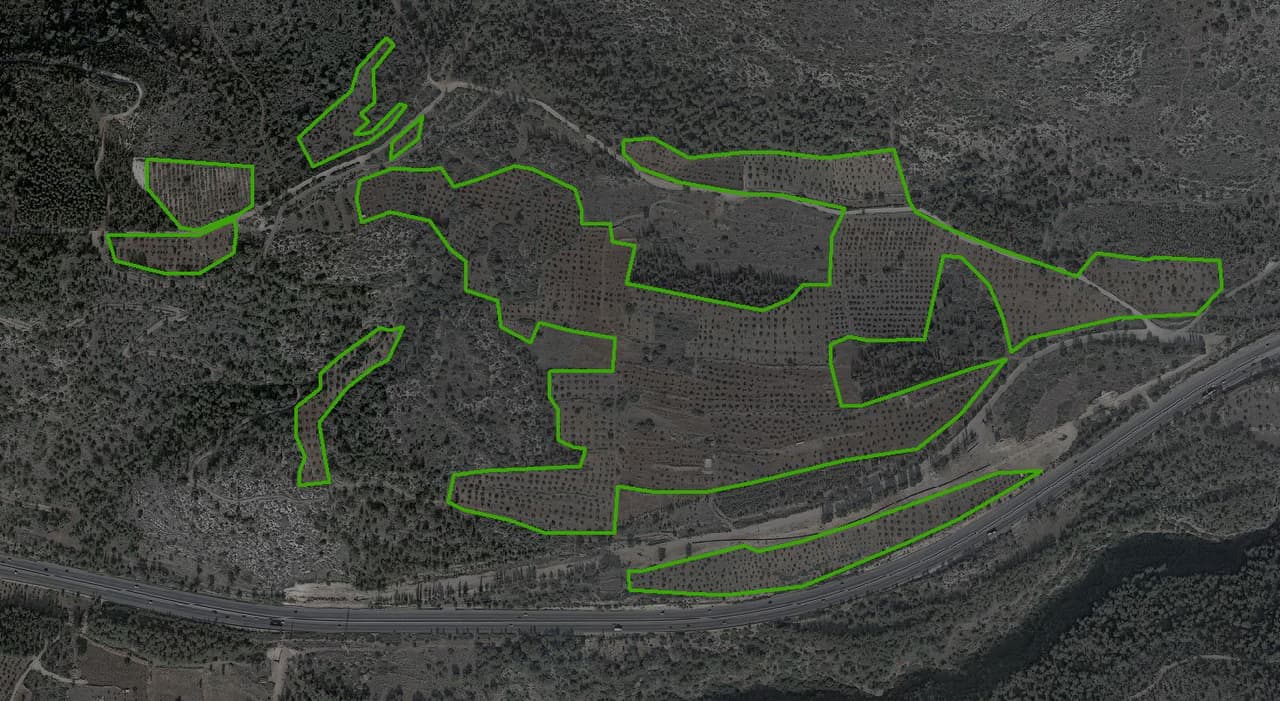
Dark aerial photo of hills with AI-mapped orchard and forest polygons

Contact

What do you want to move forward in your organisation?

A GIS system, a survey, converting CAD files, or just a question on your mind. Write a few words and we'll get back to you by phone or email, whichever suits you.

Orchards and forest mapped by AI from the ortho

Contact form

Tell us what it's about

Fields marked with an asterisk are required. Everything else helps us come to the call prepared.
= required

So we know how to address you.

For example a municipality, regional council, water utility or planning firm.

Engineer, GIS manager, procurement, traffic department... it helps us tailor the conversation.

We'll send a short confirmation and follow up here.

If you'd rather we call.

Choose the closest topic. You can add detail in the message.

What the problem is, what you already have (layers, CAD files, ArcGIS Online) and any timeline. One sentence is enough to get started.

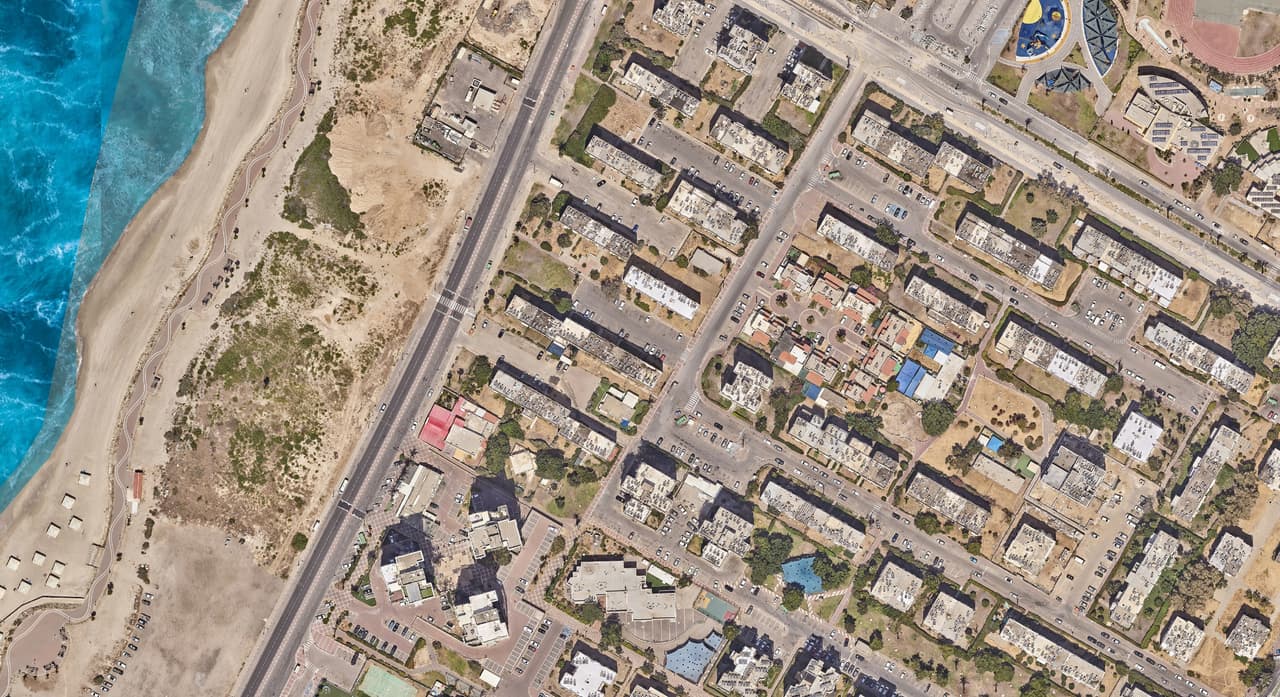
Aerial orthophoto of a coastal neighbourhood: roofs, streets and the shoreline
Orthophoto of a coastal neighbourhood

What happens next

Three stations to a proposal

  1. TAKE 01 · ST-01Intro callA short call to understand what you want to move forward and what already exists.
  2. TAKE 02 · ST-02Data checkWe look at your layers, files or site so that what we propose fits reality.
  3. TAKE 03 · ST-03Focused proposalA written proposal with scope, deliverables and schedule, or a small pilot to get started.