
Accessibility
Accessibility statement
We want everyone, including people with disabilities, to be able to use our website easily and with dignity. This page explains what we have done, what is not yet perfect, and how to reach us.
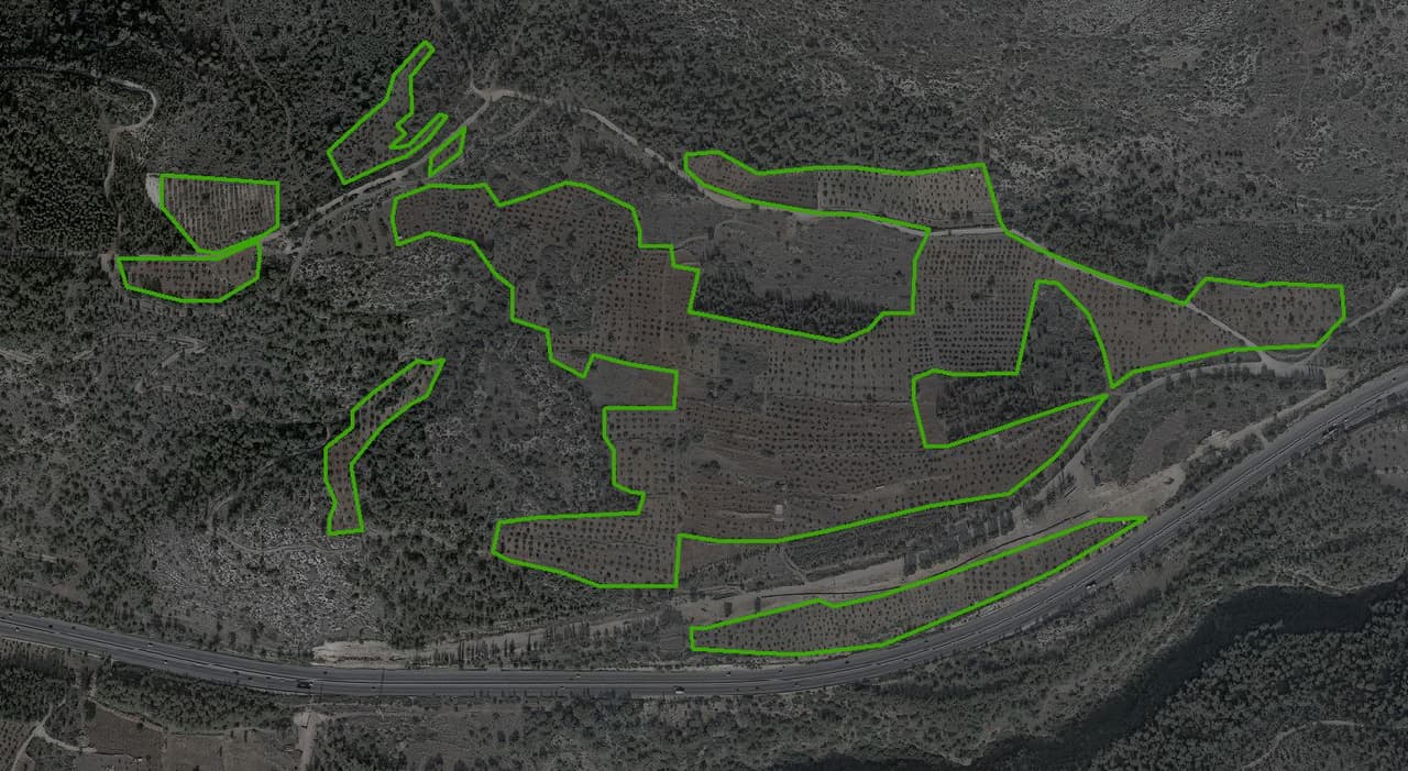
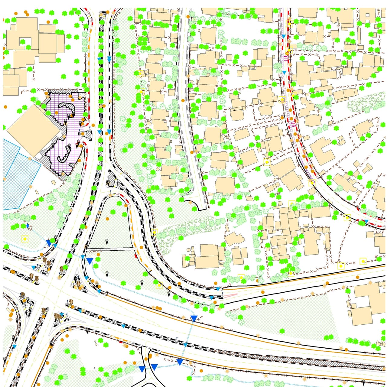
Orchards and forest mapped by AI from the ortho
Our commitment
HAMMER GIS is committed to providing an equal service to all users, including people with disabilities. We treat accessibility as part of quality, not an add-on: the website was built from the start to work with a keyboard, a screen reader, magnification and other assistive technology.
This statement covers www.hammer-gis.com in Hebrew and English. Our software products, such as HAMMER CITY and CADabra, publish their own accessibility statements inside each system.
Standard and level
The website is made accessible in accordance with the Equal Rights for Persons with Disabilities (Service Accessibility Adjustments) Regulations, 5773-2013, and Israeli Standard IS 5568 at level AA, which is based on the W3C WCAG 2.0 guidelines. Our target is conformance with WCAG 2.1 level AA.
Conformance status: partial conformance. The reasons are listed under "Known limitations". [To be updated after the manual screen-reader review.]
Accessibility measures on this site
- Full keyboard accessAll links, menus, buttons and forms work with the keyboard, with no traps and a clear focus indicator throughout. Dialogs close with Esc and focus returns to the button that opened them.
- Skip linkThe first press of Tab on every page shows a "Skip to main content" link.
- Semantic structureLabelled page regions (header, navigation, main content, footer), headings in hierarchical order, a unique title for each page, and language and direction set on every page: Hebrew right to left, English left to right.
- Full content in HTMLAll text is in the page markup itself, so screen readers and browsers without scripts get the full content.
- Motion you controlIf your device is set to reduce motion, you get a calm version of the site with no animated scrolling and no autoplaying video. Anyone can stop all animations and videos from the accessibility menu.
- Text alternativesImages, maps and illustrations that carry information have text alternatives. Decorative elements, such as background videos and 3D visuals, are hidden from screen readers, and the information they illustrate is also given in text.
- Contrast and readabilityText contrast of at least 4.5:1 and 3:1 for interface components, no information conveyed by colour alone, text can be enlarged to 200% without losing content, and the layout adapts to any screen width.
- Clear formsEvery field has a label, required fields are marked, and error messages are announced and linked to the field that needs fixing.
- The survey cursor never replaces focusThe custom crosshair cursor appears only with a mouse, disappears when animations are stopped, and never hides the keyboard focus indicator.
The accessibility menu
Every page has a fixed accessibility button in the bottom corner of the screen. It is the second keyboard stop, right after the skip link, and the Alt+A shortcut also opens and closes it. The menu is built into the site code; we do not use an external accessibility plug-in (overlay). It is an extra convenience, not a substitute for the accessibility built into the code. Settings are saved in your browser and apply on every page.
- Text sizeThree steps: 112.5%, 125% and 150%.
- High contrastBlack background, white text and yellow links, with no transparency or gradients.
- Stop animations and videoStops animations, animated scrolling and background videos across the site.
- Underline linksA clear underline on every link.
- Readable fontA plain font with slightly wider spacing.
- Highlight focusA thick yellow frame around the focused element.
- Links and resetLinks to this statement and to report a problem, and a button that restores all defaults.
Supported browsers and assistive technology
The site supports current versions of Chrome, Edge, Firefox and Safari on desktop and mobile, common screen readers (NVDA, JAWS, VoiceOver, TalkBack), browser and operating-system magnification, and Windows high-contrast mode.
Known limitations
Despite our efforts, some parts of the site may not yet be fully accessible. These are the limitations we know about, and the alternative for each:
- [To be updated after the manual screen-reader review.]
- Embedded third-party content, such as YouTube videos and ArcGIS Online interactive maps, depends on the provider's accessibility. Alternative: each item comes with a text description, and you can ask us for the information in another way.
- 3D visuals, background videos and animations are decorative. Alternative: the information they illustrate is given in text, and they can be stopped from the accessibility menu.
- Older PDF documents that may be linked from the site are not always tagged for accessibility. Alternative: ask us for an accessible version.
Found a problem that isn't listed here? We'd like to know.
How the site was tested
- Automated testing (axe-core 4.14, WCAG 2.1 AA): every page in Hebrew and English, also with the accessibility menu open, in high-contrast mode and with reduced motion. The test runs on every build of the site. [Latest date and result to be added before launch.]
- Manual keyboard review: [date to be added].
- Screen-reader review (NVDA with Firefox, in Hebrew): planned before launch. [Date and reviewer to be added].
Service accessibility
We do not receive visitors at our offices. Our services are delivered in meetings at the client's premises and by video call. If you need an adjustment for a meeting, such as captions on a video call, materials in an accessible format or an accessible meeting venue, let us know in advance and we'll arrange it.
Accessibility coordinator and reporting a problem
Found something that is not accessible, or hard to use? We want to hear about it, and we can help you get the information or service another way. To help us handle your request, please include: the page address, what you were trying to do and what happened, your browser and operating system, the assistive technology you used (for example a screen reader or magnification), and how to reach you. We will acknowledge your request and respond within 10 business days.
- Accessibility coordinatorLior Hammer
- Phone+972-52-881-8131
- Emaillior@hammer-gis.com
Statement updates
Date of this statement: 11 November 2026. Date of the latest accessibility review: [to be added after the manual review]. We re-check the site's accessibility with every significant change and update this statement accordingly.