
FAQ
What municipalities ask us
Short, direct answers on procurement, ArcGIS compatibility, data security, data ownership, timelines, training and accessibility. Didn't find what you need? Ask us.
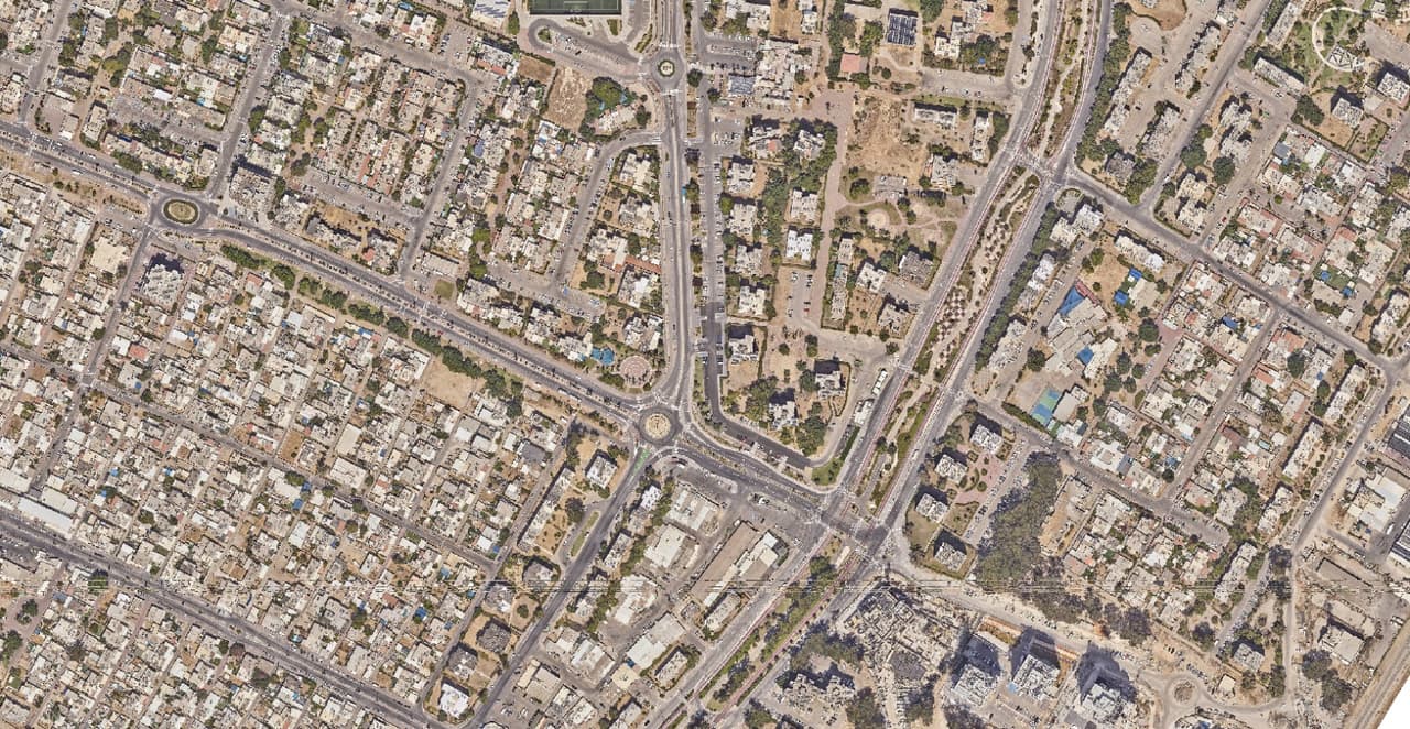
Aerial photo of a street block
Topics
Jump to a topic
- General
- Procurement
- ArcGIS and compatibility
- Data security and privacy
- Data ownership
- Timelines
- Surveys and mapping
- Training, support and development
- Accessibility and professional limits
All questions and answers
Answers are current as of November 2026. When something changes, we update it here.
What does HAMMER GIS do?
HAMMER GIS is an Israeli GIS company that works mainly with local authorities and public bodies. We build GIS software (HAMMER CITY, CADabra, SIGNYX, CLIMYX and SEE.GMMA), run field surveys and aerial-imagery mapping, and support teams through setup, training and day-to-day use. One partner, from the field to the system.
Who are your services for?
Municipalities, local and regional councils, planning committees, water and sewage utilities, and planning and survey firms. Organisations and developers also come to us for surveys, data conversion and maps. What they share: they hold spatial data and need it to work for them.
Which of your products are available today?
Two are live: HAMMER CITY and CADabra. SIGNYX is in use at a local authority in an ArcGIS-based version, and a new standalone web app is in development. SEE.GMMA is in a pilot, and CLIMYX is at concept stage. Each product page states exactly what is available and what is still on the way.
How do we engage you: quote, tender or pilot?
Whatever process fits your authority and the scope: a price quote, a public tender or a focused pilot. We provide the documents your procurement file needs, and if you already have a specification, we're happy to review it with you before it goes out.
Can we start with a pilot?
Yes, and it is often the right first step. One neighbourhood, a main street or a single layer type is enough to see the result on your own data. You decide on the next step with something real in hand, not a slide deck.
How is pricing set?
By scope: survey area and type, number of layers and users, the state of your existing data, and the engagement model, project or licence. After a short scoping call we send a detailed proposal that spells out what is included and what isn't.
What should we prepare before a first call?
Very little. It helps to know what data you already have (layers, CAD files, spreadsheets), which system you work in today, for example ArcGIS Online, and which problem bothers you most. We'll work out the rest together.
Do your products work with ArcGIS?
Yes. HAMMER CITY is built on ArcGIS and runs on your own ArcGIS Online organisation, with the sign-in and permissions you already have. CADabra publishes layers to your ArcGIS Online and exports a package that opens in ArcGIS Pro. We build on your existing investment rather than replace it.
We don't use ArcGIS Online. Can we still work with you?
Yes. Survey deliverables come in open formats such as Shapefile, File Geodatabase, GeoPackage and DWG, and CADabra also exports GeoJSON and KML. HAMMER CITY runs on ArcGIS Online today; if you don't have a GIS yet, we'll advise you on the right place to start.
Which coordinate system and formats do deliverables use?
By default the Israeli Transverse Mercator grid (ITM, EPSG:2039). GIS layers are delivered as Shapefile, File Geodatabase or GeoPackage, and as DWG, PDF or Excel where needed. Conversions between ITM and WGS84 use the Survey of Israel transformation.
Can AutoCAD plans and AS-MADE surveys go straight into GIS?
Yes, that is what CADabra is for. It reads DWG and DXF files, converts them to GIS layers, checks topology and, for AS-MADE surveys, compliance with the Survey of Israel mapping spec 2.1, and produces a quality report. CAD layers it doesn't recognise wait for a user decision, so nothing is converted by mistake.
Where is our data stored?
With HAMMER CITY your layers stay in your own ArcGIS Online organisation, and the app itself is hosted on Google Cloud in a separate environment per customer. CADabra is also hosted on Google Cloud. CAD files shown in HAMMER CITY are read in the browser only and are not stored on a server.
How is access to the systems protected?
In HAMMER CITY users sign in with your authority's ArcGIS accounts, and permissions are the ones you define. CADabra adds two-step verification, sign-in through your organisation's identity provider (SSO), an IP allow-list, an audit log, and CAD parsing in an isolated sandbox.
Can CADabra delete existing layers in ArcGIS Online?
No. Before publishing, CADabra checks the user's ArcGIS Online privileges, publishes only what the user selected, and never deletes existing items in your organisation.
Do you use AI on our data?
Only where it helps, and always with human review. In traffic-sign surveys and ortho-graphy, AI finds candidates and professionals check and complete them. In SEE.GMMA, only image tiles that were explicitly selected are sent to an external AI service (Google Gemini), and every result is logged in full. Before each project we tell you exactly what is sent where.
Will you sign a confidentiality undertaking and a data-security annex?
Yes. We work to your authority's information-security requirements, sign a confidentiality undertaking, and limit data access to the people actually working on the project.
Who owns the data?
You do. The data you give us and the survey deliverables belong to your authority and are delivered in open formats. HAMMER CITY runs on your ArcGIS Online, so your layers stay in your organisation, independent of us.
What happens to our data if we stop working with you?
It stays with you. Your layers are in your ArcGIS Online, and the deliverables we handed over in open formats open in any GIS software. There is no closed format that only we can read.
How long does it take to set up HAMMER CITY?
Mostly it depends on the state of the layers in your ArcGIS Online. HAMMER CITY is one template with a small per-authority layer, so the setup itself is short. Most of the time goes into organising layers, pop-ups and training. Once we've seen your data, we'll give you a precise schedule.
How long does a survey take?
It depends on the area, the survey type and the number of features. Every survey includes fieldwork, quality control and delivery, and large surveys can be delivered in stages, area by area. The schedule is agreed up front and written into the proposal.
What does a traffic-sign survey include?
A vehicle-mounted camera drive of your streets, AI detection and a human check of every image. You receive a sign layer with the Ministry of Transport sign code, address, direction and pole number; a pole layer; road-marking layers; and all street images. A viewing and editing app can be added.
How do you turn an aerial photo into GIS layers?
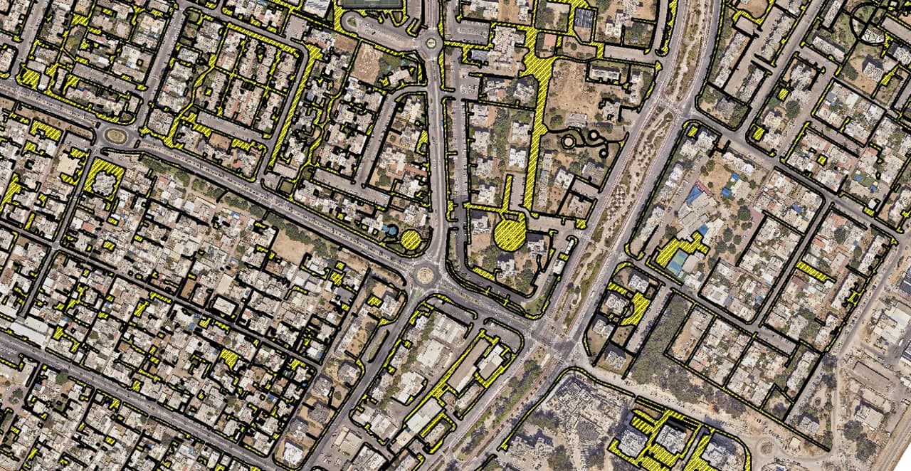
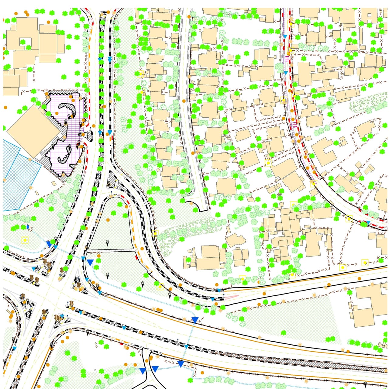
With a method we call ortho-graphy: AI detects features in an existing aerial photo, then our team completes the result by hand and checks every layer. You get dozens of base layers, such as buildings, sidewalks, trees, manholes and signs, in GIS, DWG and PDF, without waiting for a full photogrammetric survey.
What is the difference between an orthophoto and an ordinary aerial photo?
An orthophoto is an aerial photo that has been geometrically corrected so that every pixel sits in its true position in the coordinate system. That is why you can measure distances and areas on it and overlay GIS layers. An ordinary aerial photo is distorted by camera angle and terrain height.
What is urban heat-island mapping, and what does the authority get?
A heat island is part of a city that runs hotter than its surroundings because of asphalt, concrete and missing shade. We map tree canopies, shade structures, surface materials and building heights, and model shade through the day. The result is a priority map showing where planting or shading will matter most, in GIS and DWG.
Do you do drone mapping?
Yes, for focused capture of a site, neighbourhood or project, as the basis for orthophotos and 3D models. Flights are carried out under the required permits and coordinated with the relevant bodies.
Do you train municipal staff?
Yes. Training is tailored by role, from people who only view the map to those who edit layers, and runs at your offices or online. HAMMER CITY has a full user guide in Hebrew, and we also prepare short guides per department.
What support do we get after go-live?
Support in Hebrew, directly from the people who built the system. New HAMMER CITY versions are released in a controlled way, and if something doesn't work as it should, we can roll back to the previous version. Support scope and response times are set in the agreement.
Can you build a dedicated tool or app?
Yes. We have built asset-management systems, call-centre dashboards, emergency systems, survey forms and resident-facing apps for authorities, most of them on ArcGIS Online and Experience Builder. We start from the process that needs fixing and only then choose the technology.
Are your systems accessible under Israeli Standard 5568?
We build to IS 5568 level AA, which is based on WCAG 2.1, and publish an accessibility statement for every system. HAMMER CITY offers full keyboard navigation, skip links, text resizing, high contrast and a way to stop animation. Its statement says openly what already conforms and what is still being worked on.
Are measurements in the system or AI findings legally binding?
No. Measurements in HAMMER CITY are for orientation and are not a certified survey, and the data in the system does not replace statutory information. AI findings are for detection and prioritising; the decision stays with your professional staff. Where a certified survey is required, a licensed surveyor carries it out.
Have a question that isn't here?
Write or call. You'll talk to someone who knows the systems from the inside.