
Implementation & support · A local authority
A municipal asset-management app
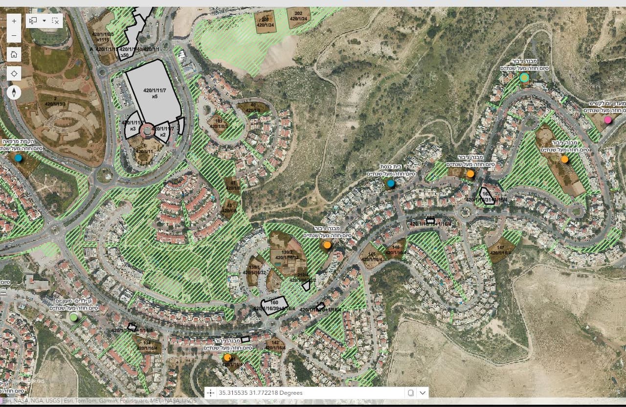
All of the authority's property on one map: assets, plots, lease contracts and allocations, with an editing map, an editing table, a survey form and an assets dashboard.
Asset app: plots and assets over the ortho
Project details
- Client
- A local authority
- Field
- Implementation & support
- Source
- Authority ArcGIS
The challenge
An assets department holds information on buildings, plots, lease contracts and allocations, often in spreadsheets and paper files. When none of it is tied to a map, a simple question is hard to answer: what does the authority own at this spot, and who holds it.
The solution
We built an ArcGIS-based app with a landing page, map view, free search and layer view. An editing map and an editing table let staff add an asset, drag it to the right location and update details by location. A survey form records each asset's update status: not updated, details only, location only, or fully updated. The plots layer is locked against editing from the app, and an assets dashboard shows the totals.
The outcome
The assets team updates property directly on the map and knows which assets have already been verified, while management sees the overall picture in the dashboard. Staff have a user guide.
Delivered
- Web app: landing page, map, free search and layer view
- Editing map and editing table
- Survey form with an update status per asset
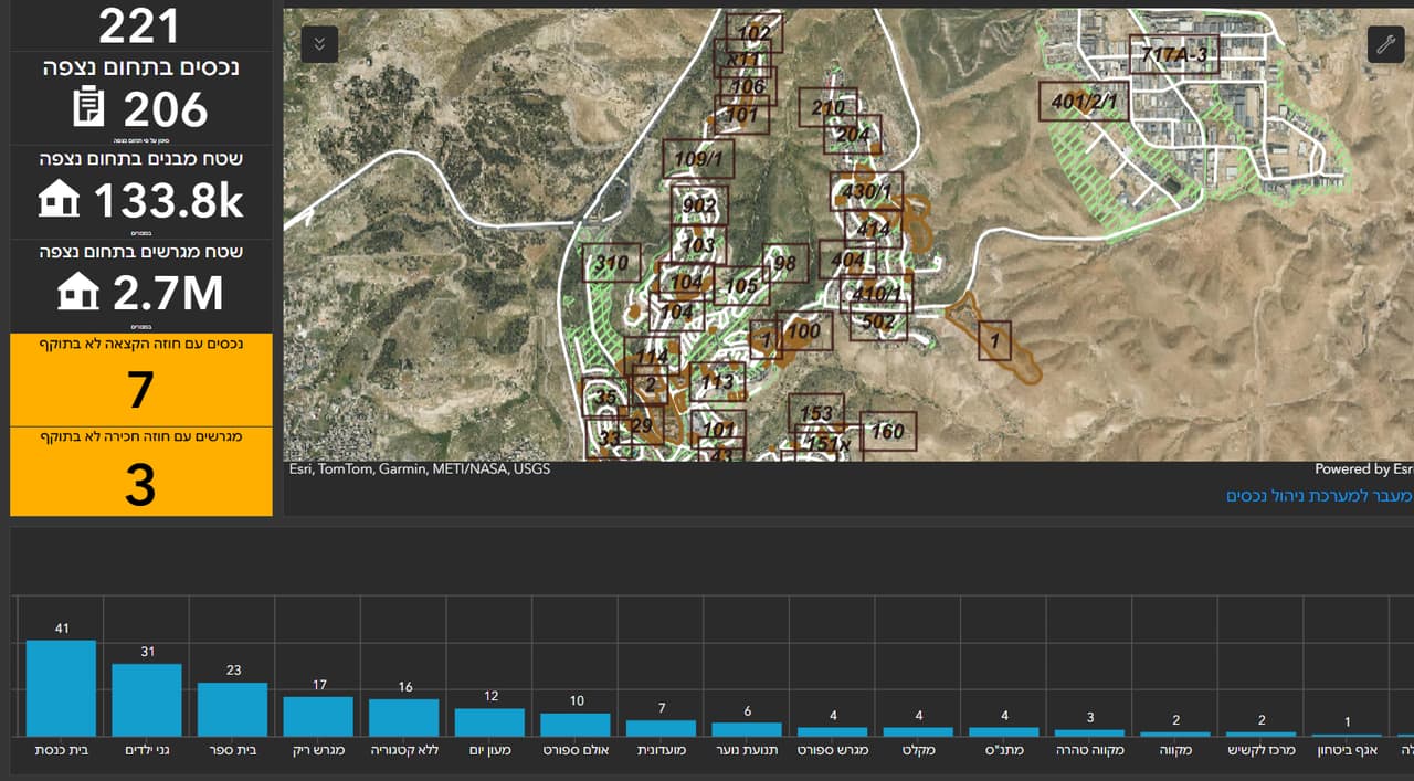
- Assets dashboard
- User guide (PDF)
More projects
All projects-
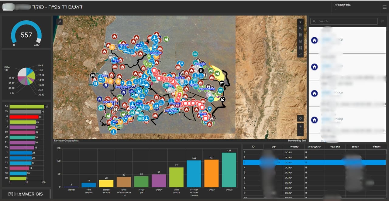
GIS system and call-centre dashboard for a regional council
A GIS system for the council, a call-centre dashboard with a map and charts, and external links that open straight from the map. -
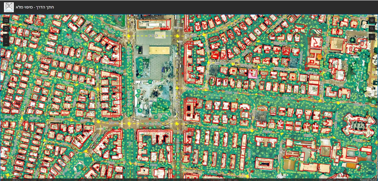
Resident maps: collection days, thematic maps and a road cross-section survey
ArcGIS Online apps for local authorities: waste and pruning collection days by address, comparison and thematic maps for residents, a road cross-section survey and self-survey forms. -
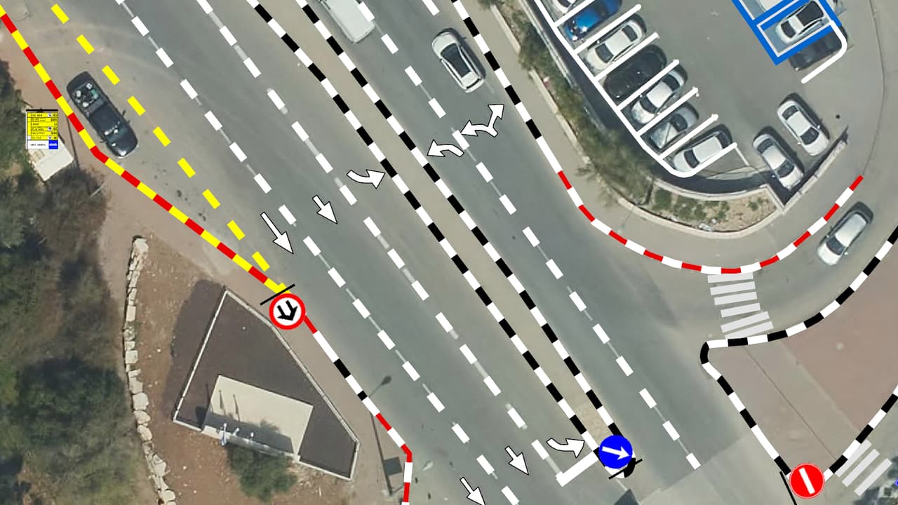
Vehicle survey of traffic signs and road markings
Camera vehicles with on-board AI, a person checking every frame, and every sign placed on the aerial photo: GIS layers of signs, poles and road markings, plus a transport app in ArcGIS Online.
Your next project
What do you want to move forward in your organisation?
Tell us what needs solving and we will come back with a proposed approach: a survey, a system, software, or a combination.