
Surveys · A local authority
Building-change survey from two aerial photos
Every building coded on an older and a recent aerial photo; new, demolished and enlarged buildings flagged in a prioritised findings report for building inspection.
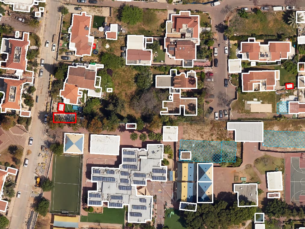
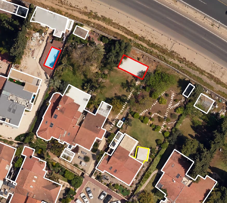
Later photo: new buildings marked in red
Project details
- Client
- A local authority
- Field
- Surveys
- Source
- Aerial photos 2020/2022 vs 2023 · oblique imagery
The challenge
Building additions are hard to spot on patrol: they sit in back yards, on rooftops and behind facades. An inspection department needs a list of places worth checking, not another general patrol.
The solution
We coded every building on two aerial photos from different years and compared them. New buildings, demolished buildings and footprints that grew beyond a threshold agreed with the authority were marked in a change layer. Oblique imagery was used to check added floors, balconies and extensions that cannot be seen from above. Each suspected case got a screenshot, and the findings were compiled in a report by priority.
The outcome
The inspection department goes out with a sorted list and an image for every finding, and can cross-check it against permit records to focus on additions that were never approved.
Delivered
- Change layer: new, demolished and enlarged buildings
- A screenshot for every suspected case
- Findings report by priority
- Optional cross-check with building permits
From the field: footage from the work
-
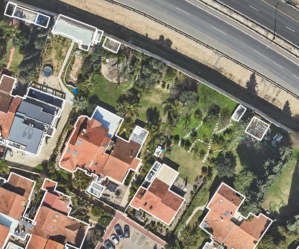
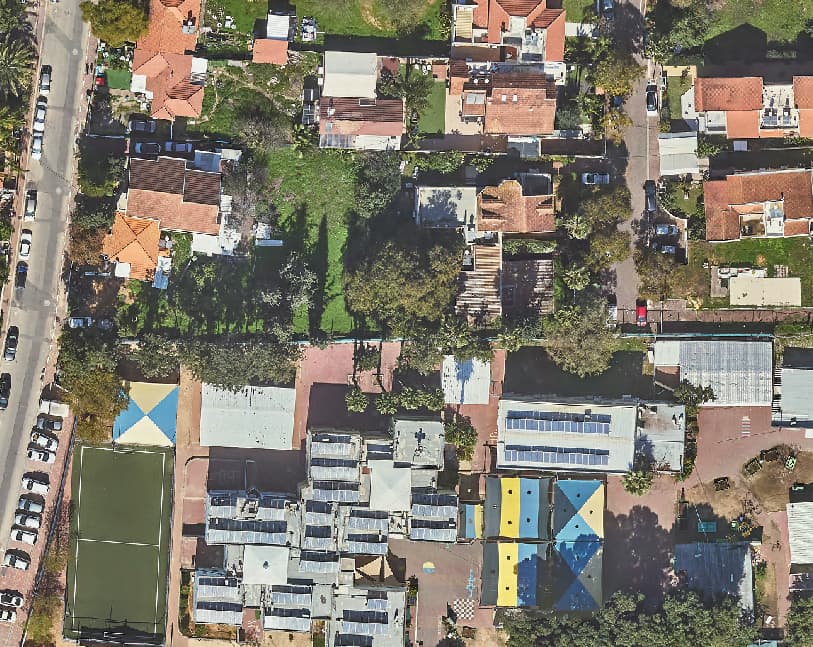
Earlier aerial photo of plots -
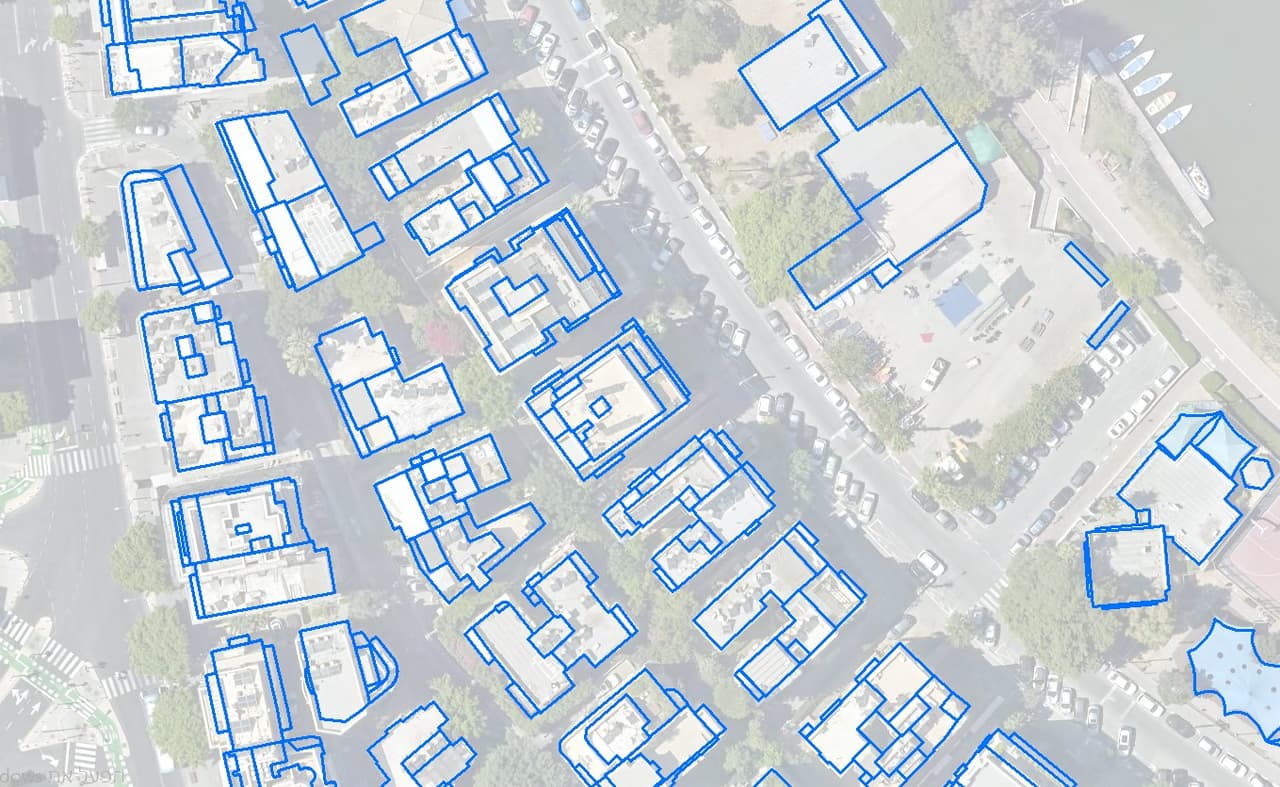
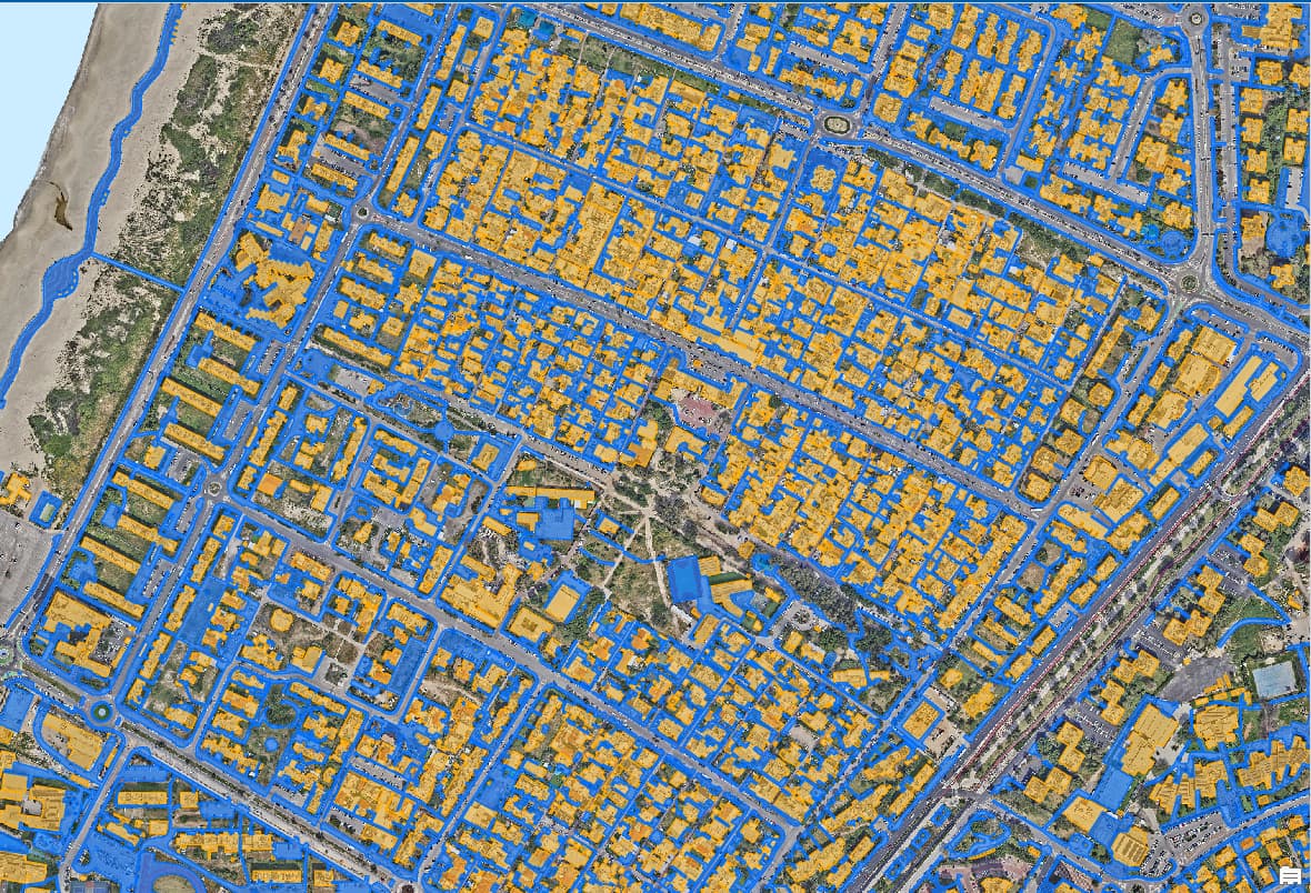
Closed building polygons
More projects
All projects-
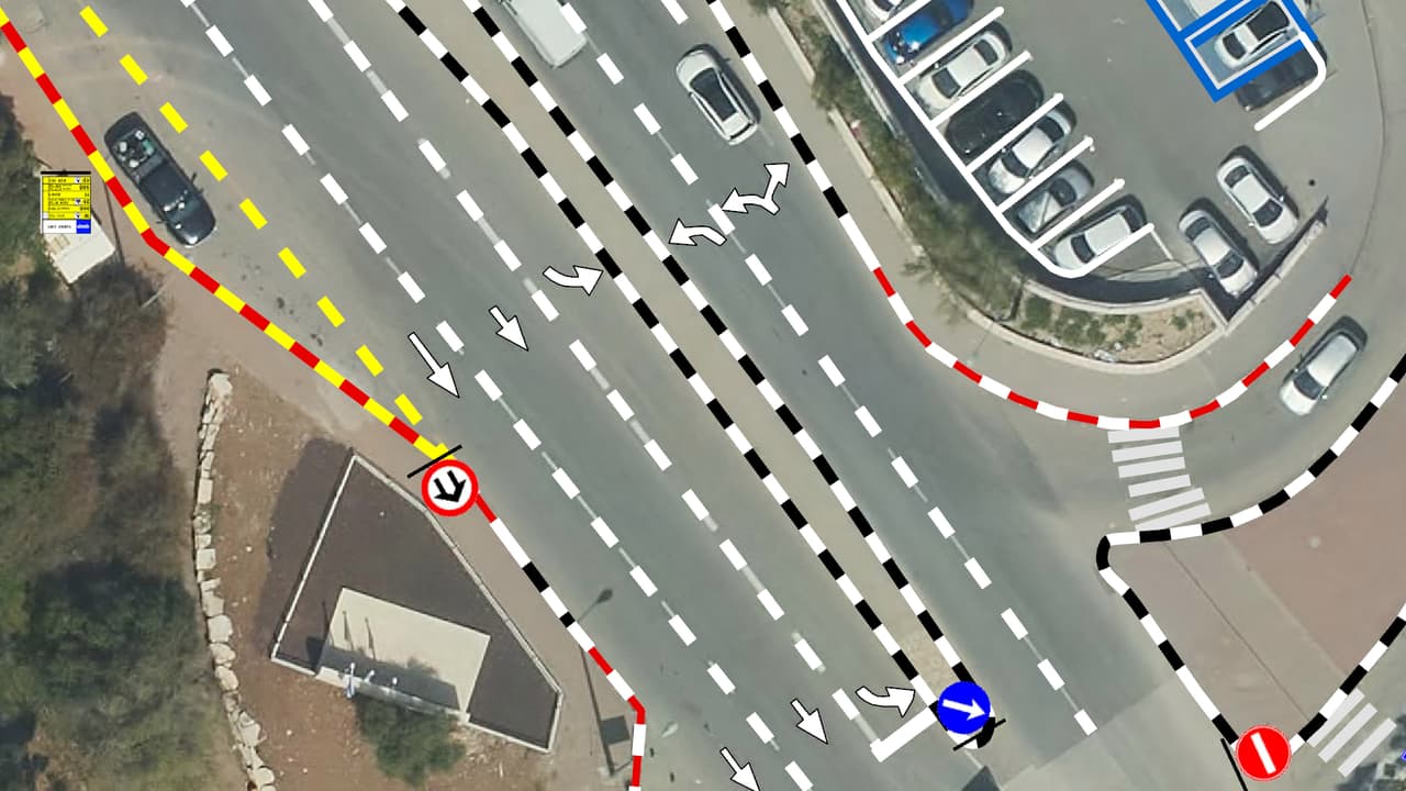
Vehicle survey of traffic signs and road markings
Camera vehicles with on-board AI, a person checking every frame, and every sign placed on the aerial photo: GIS layers of signs, poles and road markings, plus a transport app in ArcGIS Online. -
Street-level urban heat-island map – Kiryat Yam
Heat factors coded from the aerial photo, shade computed every half hour, and all of it combined into one shading priority map at the level of streets, paths and bus stops. -
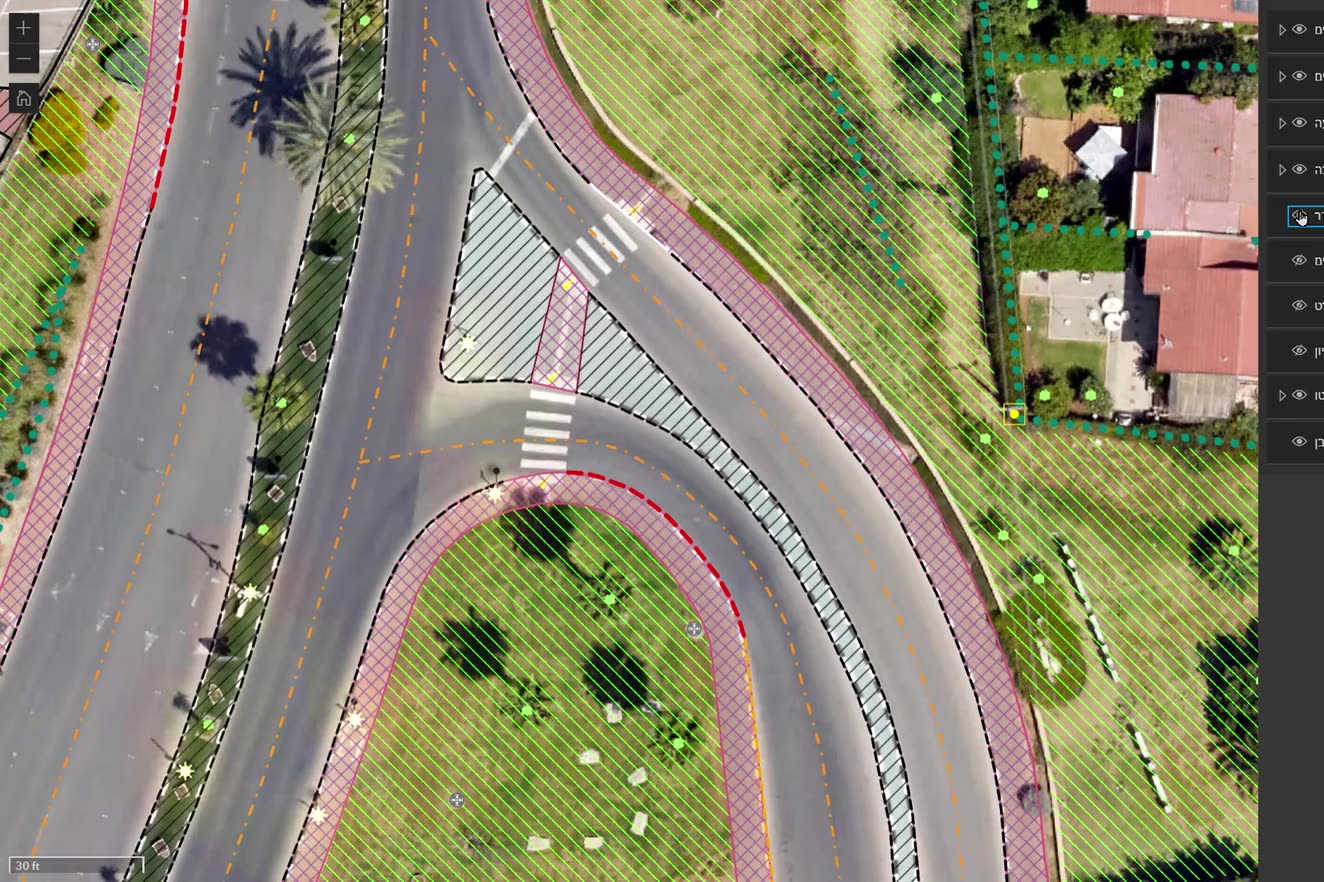
Ortho-graphy: city base layers from an aerial photo
Machine recognition on the authority's own aerial photo, manual completion and full QC: buildings, pavements, drainage, poles, signs, trees and more, with heights, in GIS, DWG and PDF.
Your next project
What do you want to move forward in your organisation?
Tell us what needs solving and we will come back with a proposed approach: a survey, a system, software, or a combination.