
Software · Product demonstration on a real survey file
CADabra: a real AS-MADE survey becomes GIS layers
A real survey file converted into GIS layers to the Survey of Israel specification: 99.5% of the data entities identified, grade A, with the coordinate system detected automatically.
CADabra: survey points and a conversion quality score
Project details
- Client
- Product demonstration on a real survey file
- Field
- Software
- Products
- CADabra
- Source
- Survey DWG · plan 128/1
- Date
- 2026-10
- CRS
- EPSG:2039
The challenge
AS-MADE surveys and MABAT plans arrive as DWG files. Getting them into GIS means mapping every CAD layer to a target layer, recovering Hebrew text, checking topology and making sure the file sits in the right place. By hand that takes days, and quality checks are the first thing to slip.
The solution
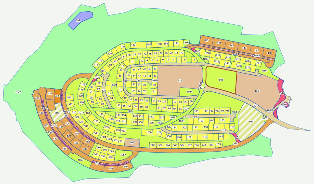
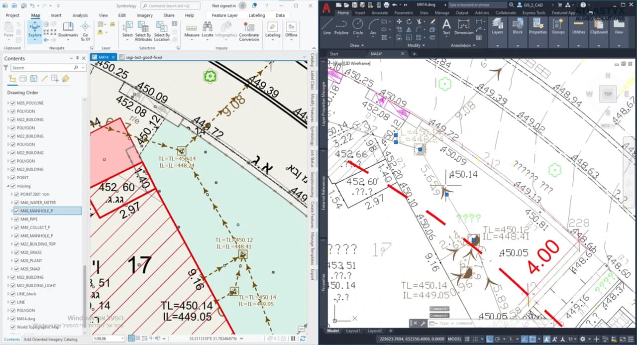
We uploaded a real AS-MADE survey to CADabra. The AS-MADE module detected the Israeli Transverse Mercator grid (ITM) automatically, converted the entities into layers to the Survey of Israel specification and produced a quality report: 26 layers, 416 features and grade A (95 out of 100). On plan 128/1, the MABAT module ran its checks and flagged 2 lots for review along with topology issues.
The outcome
An engineer or surveyor gets styled GIS layers and a quality report in Hebrew or English, and knows what was converted, what is waiting for their decision and where the plan has a problem, before the data enters the organisation's system.
Delivered
- AS-MADE report in HTML and PDF, Hebrew and English
- MABAT plan-check report
- GIS layers styled to the specification
From the field: footage from the work
-
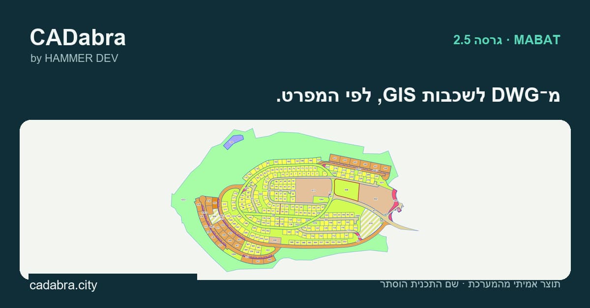
CADabra: DWG to GIS layers, to the specification -
Survey drawing opened in GIS: drainage, levels, plots
More projects
All projects-
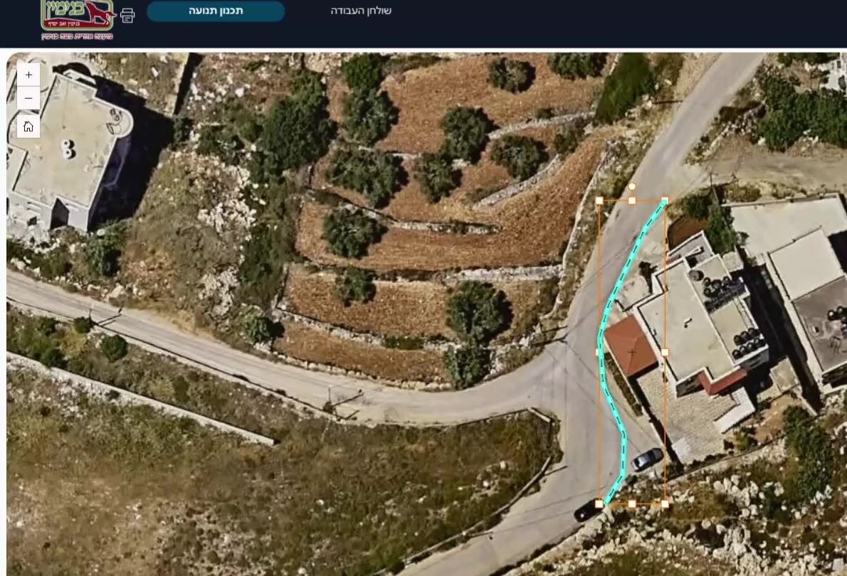
SIGNYX: a traffic committee that works on the map
A system for a regional council's traffic committee: incoming requests, map-based sign planning, committee meetings, decisions and PDF documents, on the council's ArcGIS Online. -
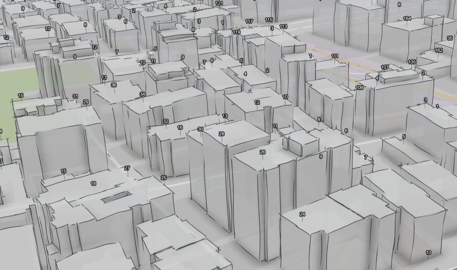
HAMMER CITY and CADabra: one map for every city department
One map site for every city employee, in Hebrew and in the city's branding, on its own ArcGIS Online, alongside CADabra for turning AutoCAD plans into GIS layers. -
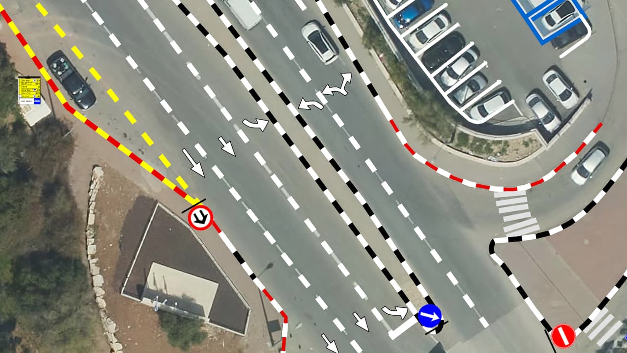
Vehicle survey of traffic signs and road markings
Camera vehicles with on-board AI, a person checking every frame, and every sign placed on the aerial photo: GIS layers of signs, poles and road markings, plus a transport app in ArcGIS Online.
Your next project
What do you want to move forward in your organisation?
Tell us what needs solving and we will come back with a proposed approach: a survey, a system, software, or a combination.