
Software · A municipality
HAMMER CITY and CADabra: one map for every city department
One map site for every city employee, in Hebrew and in the city's branding, on its own ArcGIS Online, alongside CADabra for turning AutoCAD plans into GIS layers.
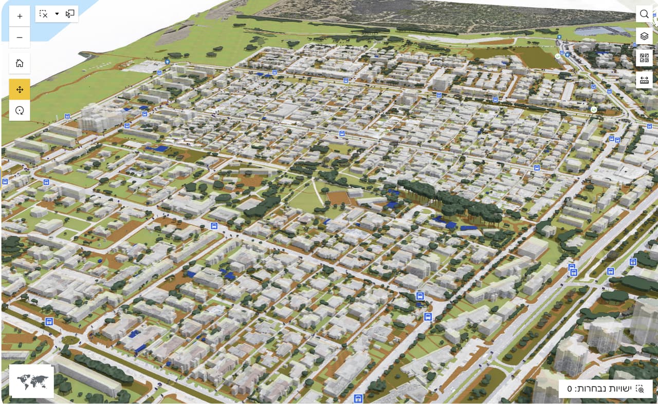
Oblique view of a 3D city building model
Project details
- Client
- A municipality
- Field
- Software
- Products
- HAMMER CITYCADabra
- Source
- City ArcGIS Online
- Date
- 2026-10
The challenge
Over the years a municipality's GIS layers spread across many maps and apps, and staff in engineering, planning and operations have to know where to look for each one. Meanwhile, plans and surveys arrive as DWG files, and converting them to GIS by hand takes days.
The solution
We set up HAMMER CITY on the city's ArcGIS Online, with sign-in through the city's own accounts: grouped layers, a legend, click-to-identify, search by address, plan and lot or block and parcel, PDF printing with the city emblem, CAD files on the map and coordinate entry. Engineering staff received CADabra accounts for converting AutoCAD plans into GIS layers with checks and export, and employees got a quick guide.
The outcome
City staff open one map in Hebrew and find an address, a lot or a plan without knowing which app the layer lives in. A plan that arrives as DWG is checked and converted into GIS layers in CADabra.
Delivered
- HAMMER CITY site on the city's ArcGIS Online
- CADabra accounts for engineering staff
- Quick guide for staff (HTML and PDF)
From the field: footage from the work
-
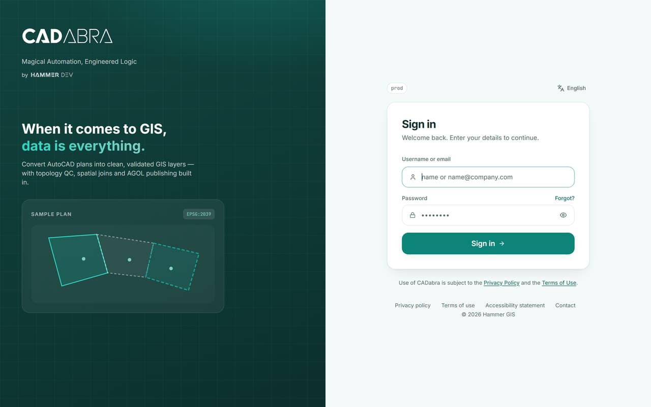
CADabra sign-in screen -

HAMMER CITY splash screen -

HAMMER CITY loading screen
More projects
All projects-
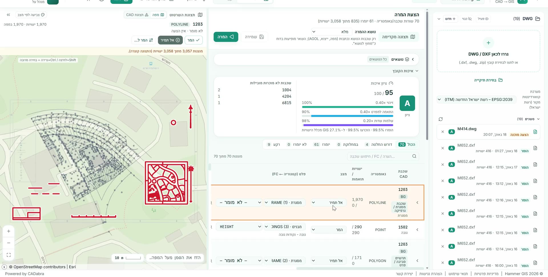
CADabra: a real AS-MADE survey becomes GIS layers
A real survey file converted into GIS layers to the Survey of Israel specification: 99.5% of the data entities identified, grade A, with the coordinate system detected automatically. -
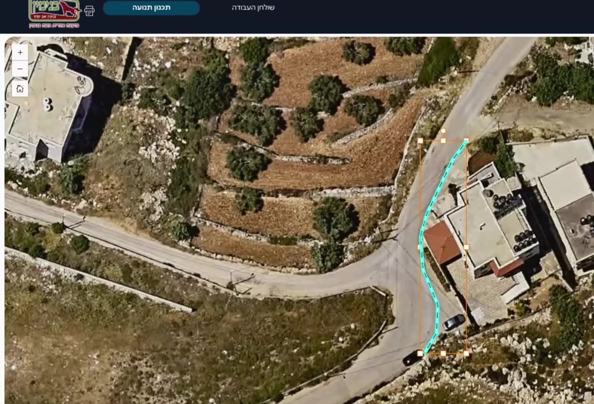
SIGNYX: a traffic committee that works on the map
A system for a regional council's traffic committee: incoming requests, map-based sign planning, committee meetings, decisions and PDF documents, on the council's ArcGIS Online. -
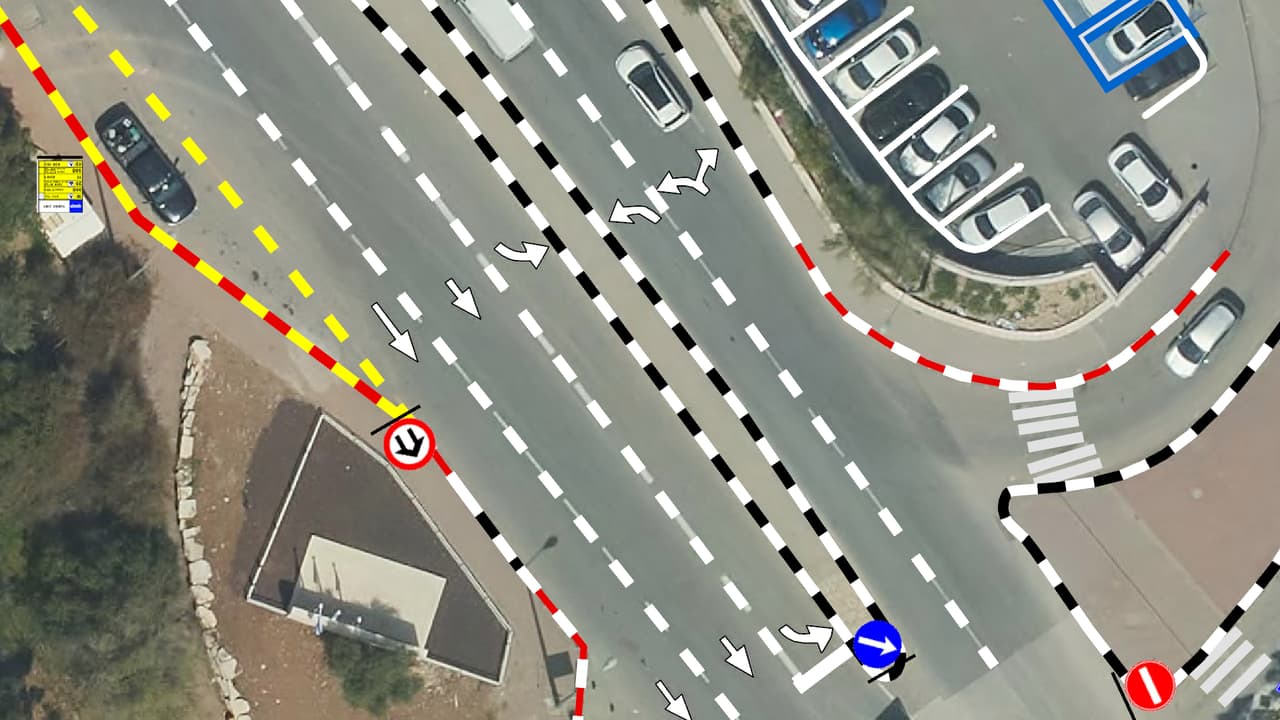
Vehicle survey of traffic signs and road markings
Camera vehicles with on-board AI, a person checking every frame, and every sign placed on the aerial photo: GIS layers of signs, poles and road markings, plus a transport app in ArcGIS Online.
Your next project
What do you want to move forward in your organisation?
Tell us what needs solving and we will come back with a proposed approach: a survey, a system, software, or a combination.