
Software · A regional council
SIGNYX: a traffic committee that works on the map
A system for a regional council's traffic committee: incoming requests, map-based sign planning, committee meetings, decisions and PDF documents, on the council's ArcGIS Online.
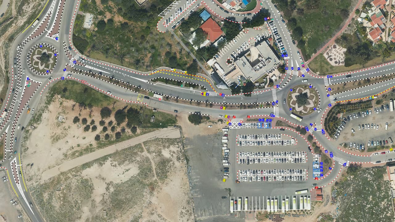
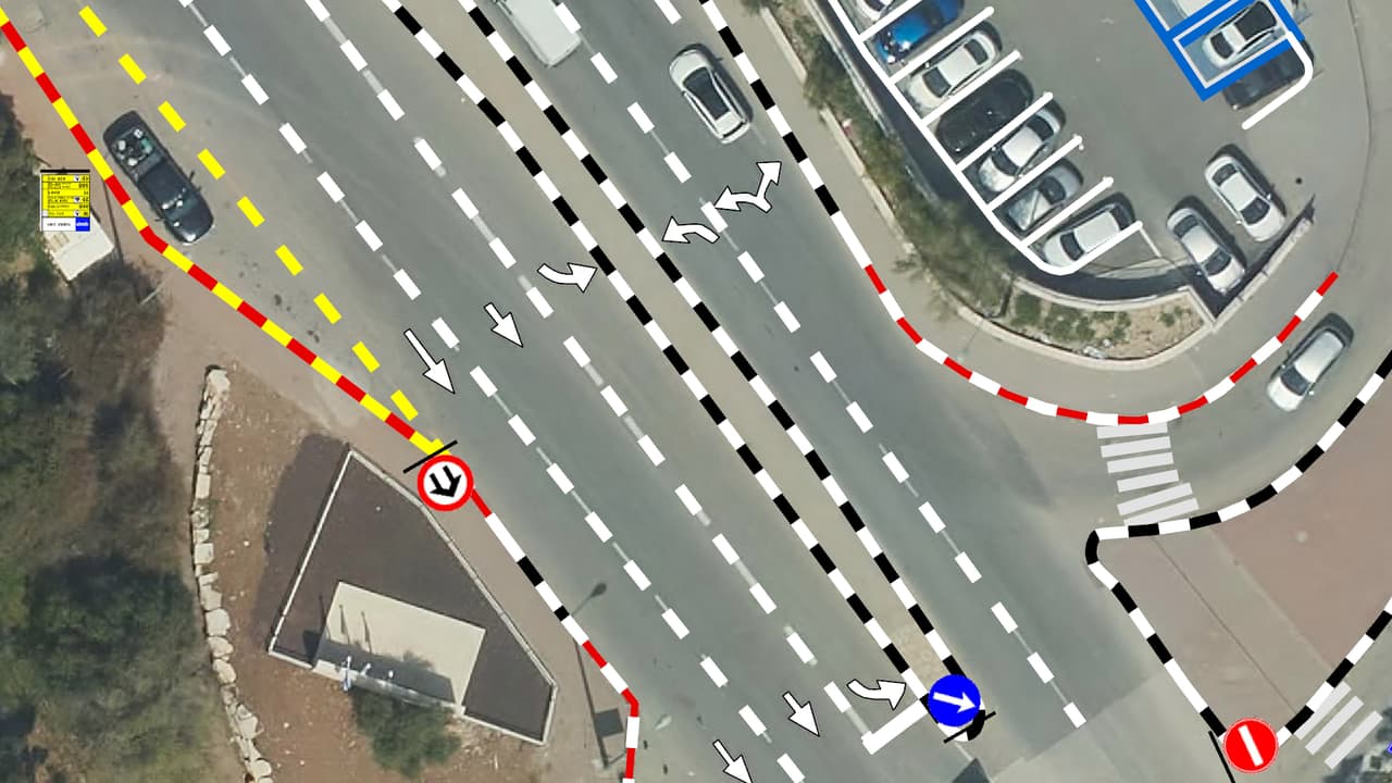
SIGNYX: signs and survey points at a roundabout
Project details
- Client
- A regional council
- Field
- Software
- Products
- SIGNYX
- Source
- Council ArcGIS Online
The challenge
A traffic committee runs a long chain: a request, planning of signs, poles and markings, a meeting, a decision and the minutes. When each step lives in a different tool, it is hard to tell where a request stands and what has already been approved.
The solution
We built SIGNYX on the council's ArcGIS Online, with screens that follow the workflow: an incoming-requests page fed by the council's request system, a planning portal for marking signs, poles, road markings and disabled parking on the map, a committee-meeting portal for the agenda and decisions, and a management portal. Agendas and minutes are produced as PDF documents, and disabled-parking permits are tracked. A new web-app generation of SIGNYX is in development.
The outcome
The committee coordinator, planners and members work from the same map and the same layers: each request sits at its location, gets planned there, goes to the meeting and produces its documents.
Delivered
- Incoming-requests page
- Map-based planning portal
- Committee-meeting portal
- Management portal
- Agenda and minutes as PDF documents
More projects
All projects-
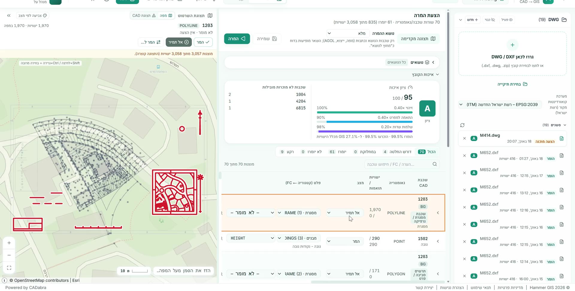
CADabra: a real AS-MADE survey becomes GIS layers
A real survey file converted into GIS layers to the Survey of Israel specification: 99.5% of the data entities identified, grade A, with the coordinate system detected automatically. -
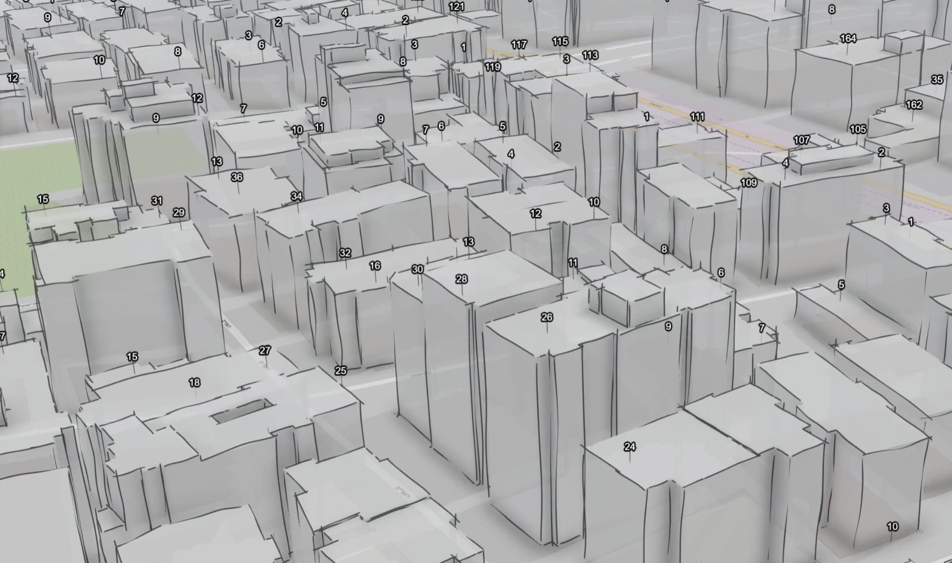
HAMMER CITY and CADabra: one map for every city department
One map site for every city employee, in Hebrew and in the city's branding, on its own ArcGIS Online, alongside CADabra for turning AutoCAD plans into GIS layers. -
Vehicle survey of traffic signs and road markings
Camera vehicles with on-board AI, a person checking every frame, and every sign placed on the aerial photo: GIS layers of signs, poles and road markings, plus a transport app in ArcGIS Online.
Your next project
What do you want to move forward in your organisation?
Tell us what needs solving and we will come back with a proposed approach: a survey, a system, software, or a combination.