
Mapping & 3D · Councils and a regional cluster
Aerial wall maps for council offices
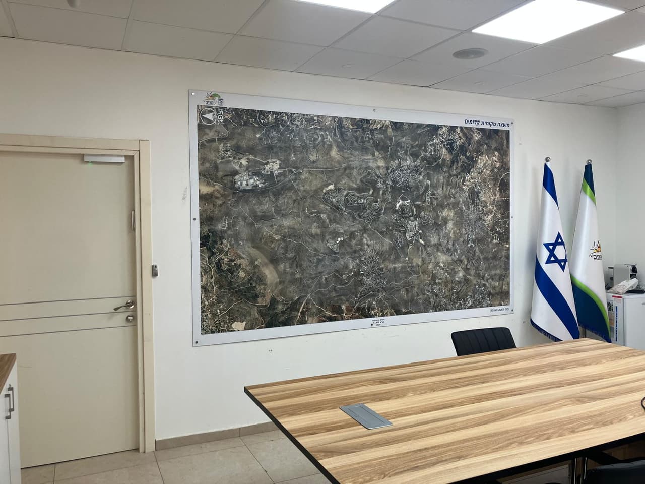
Wall-sized aerial photo maps with boundaries and base layers for meeting rooms, offices and waiting areas.
Aerial wall map in a meeting room
Project details
- Client
- Councils and a regional cluster
- Field
- Mapping & 3D
- Source
- Aerial photo · base layers
The challenge
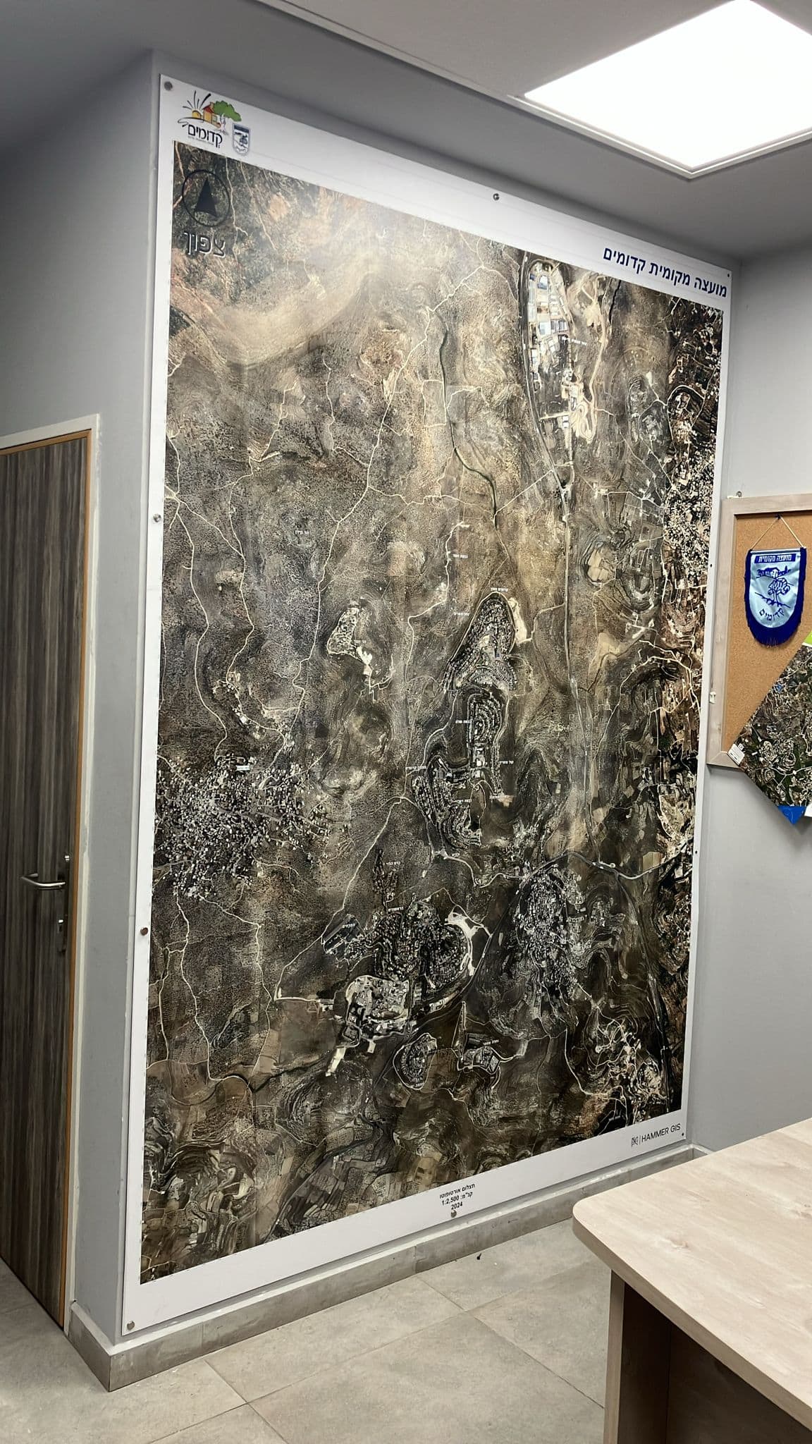
In a council meeting room, people talk about places all the time: a new neighbourhood, a road, an open area. A large, accurate map on the wall lets them point at the place instead of describing it.
The solution
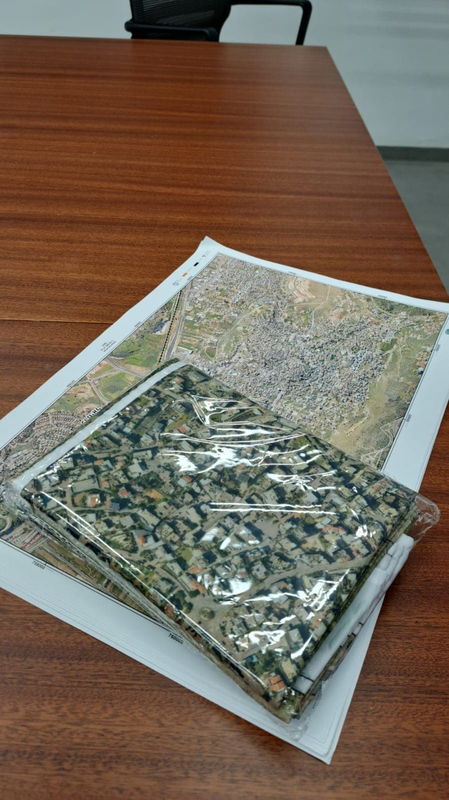
We produced wall-sized aerial photo maps with boundaries and base layers, sized to the wall and the room. The finish was chosen for each space: printed on foam board in an aluminium frame, or on glass and perspex.
The outcome
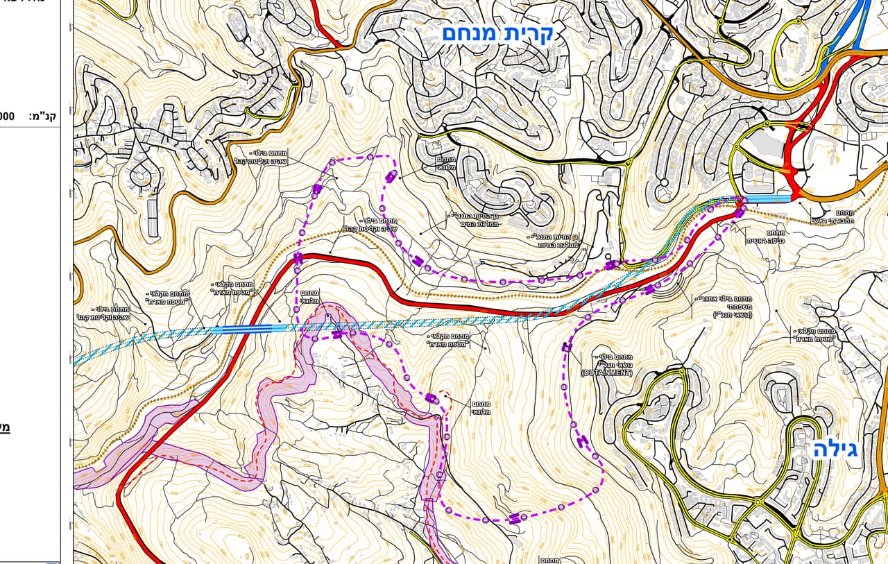
The maps now hang in meeting rooms, offices and waiting areas. Discussions happen in front of a map of the area, and visitors see the communities and neighbourhoods at a glance.
Delivered
- Printed aerial wall maps
- Boundaries and base layers on the map
- Foam board and aluminium, or glass and perspex finish
More projects
All projects-
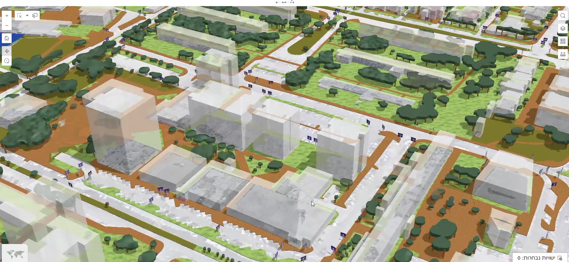
A public GIS and a 3D city scene
A public GIS for browsing the city's layers, and a 3D scene of the city from the coastline to its towers. -
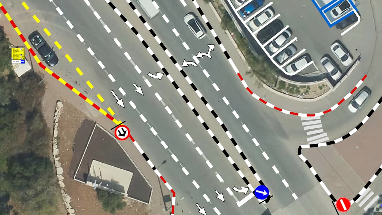
Vehicle survey of traffic signs and road markings
Camera vehicles with on-board AI, a person checking every frame, and every sign placed on the aerial photo: GIS layers of signs, poles and road markings, plus a transport app in ArcGIS Online. -
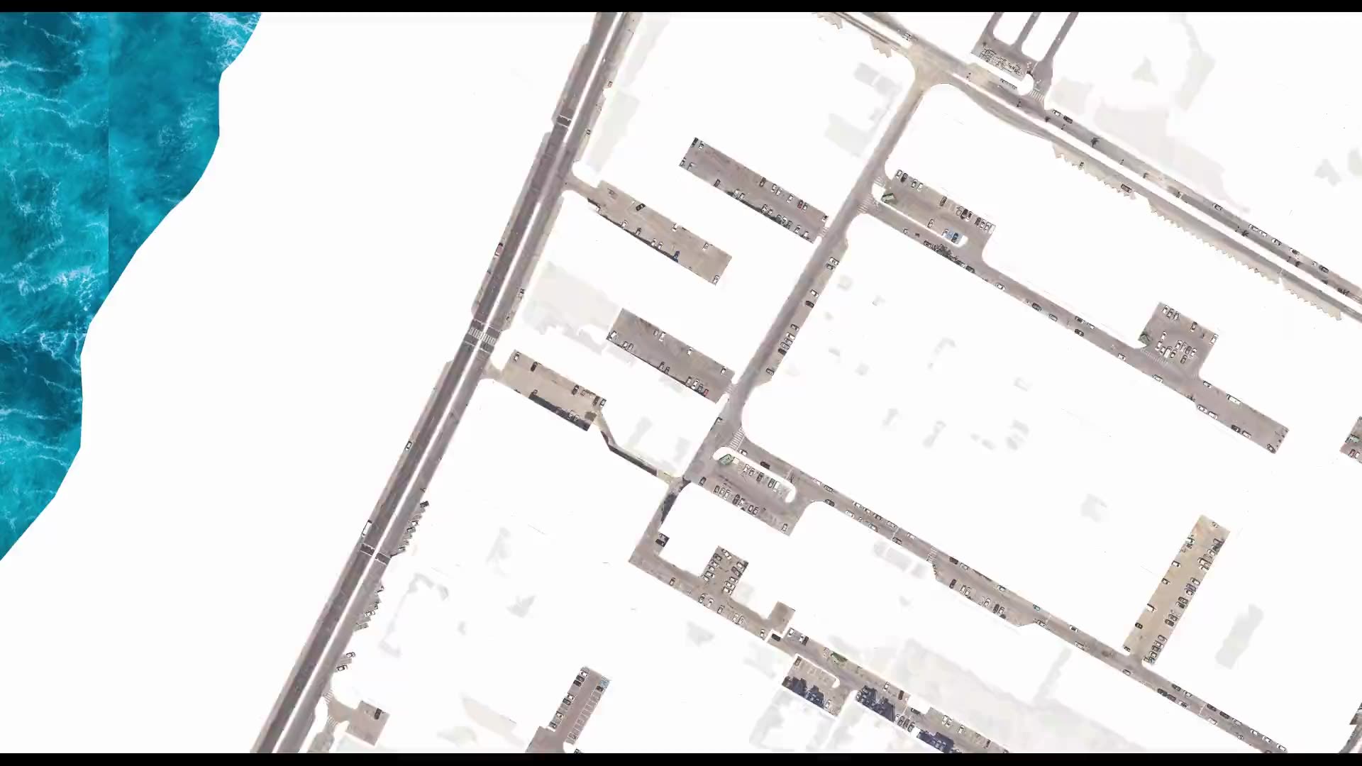
Street-level urban heat-island map – Kiryat Yam
Heat factors coded from the aerial photo, shade computed every half hour, and all of it combined into one shading priority map at the level of streets, paths and bus stops.
Your next project
What do you want to move forward in your organisation?
Tell us what needs solving and we will come back with a proposed approach: a survey, a system, software, or a combination.