
Mapping & 3D · A city in northern Israel
A public GIS and a 3D city scene
A public GIS for browsing the city's layers, and a 3D scene of the city from the coastline to its towers.
Fly-through of a 3D city: buildings, trees, pavements
Project details
- Client
- A city in northern Israel
- Field
- Mapping & 3D
- Source
- ArcGIS · 3D city model
The challenge
City information shown only on a flat map is hard for the public to read, and high-rise development is easier to explain when you can see the city in volume. For residents and stakeholders to understand what is happening, the city needs a public system that also shows it in 3D.
The solution
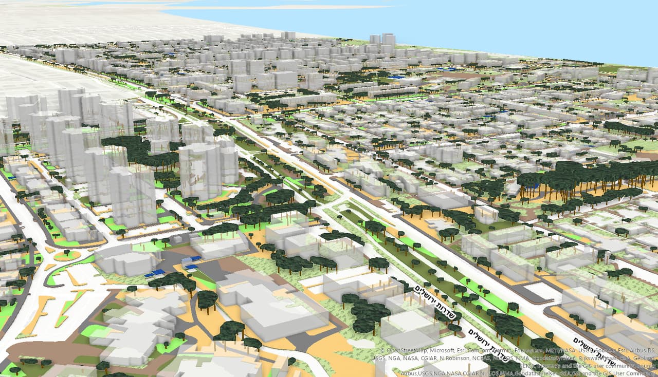
We set up a public GIS for the city on ArcGIS with a layer list, and built a 3D scene of the city that users can fly through to look at buildings, streets and the coastline.
The outcome
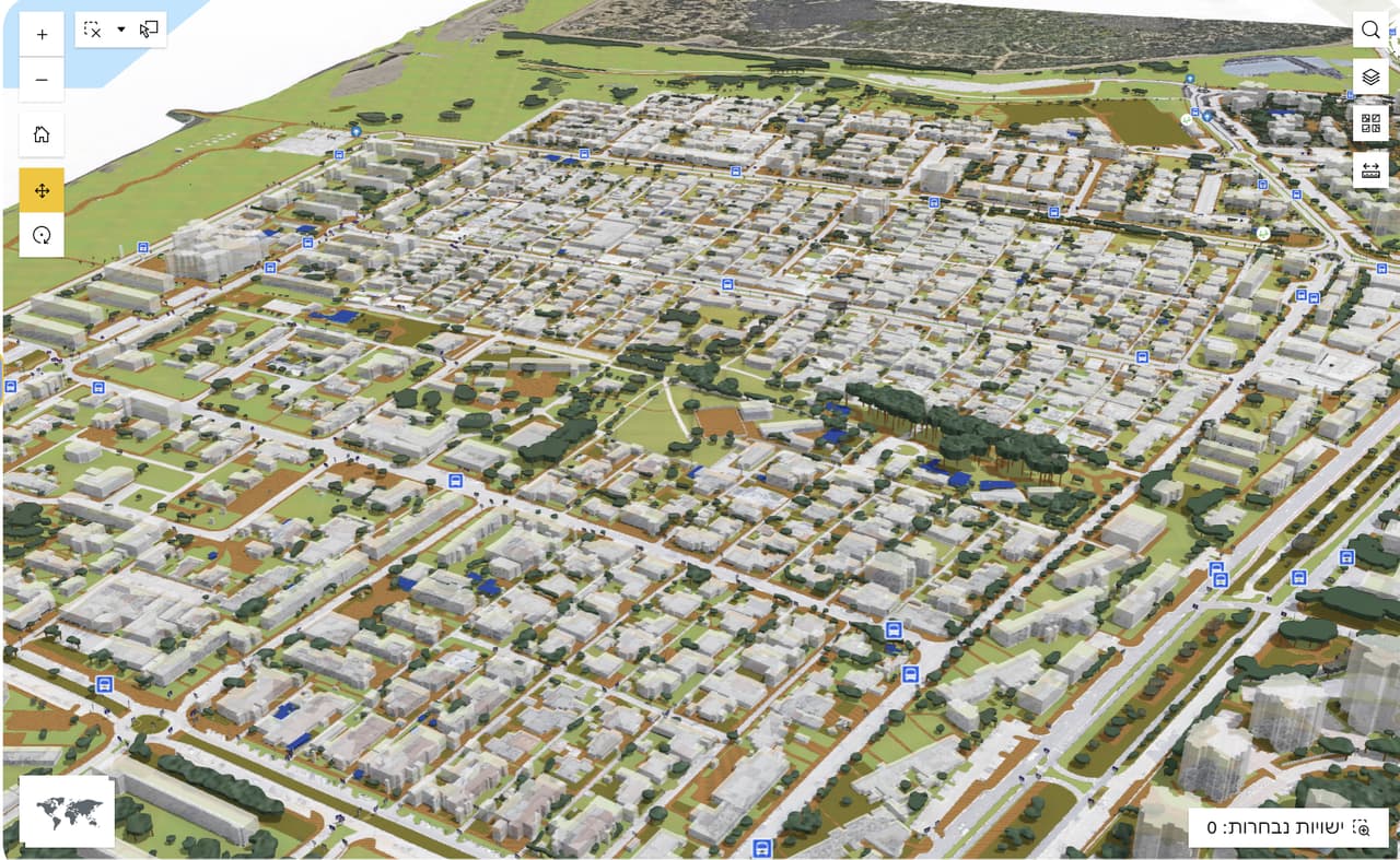
Residents, developers and city staff browse the city's layers in a web browser, and can switch to 3D to look at buildings and streets in volume.
Delivered
- Public web GIS
- 3D city scene
From the field: footage from the work
-
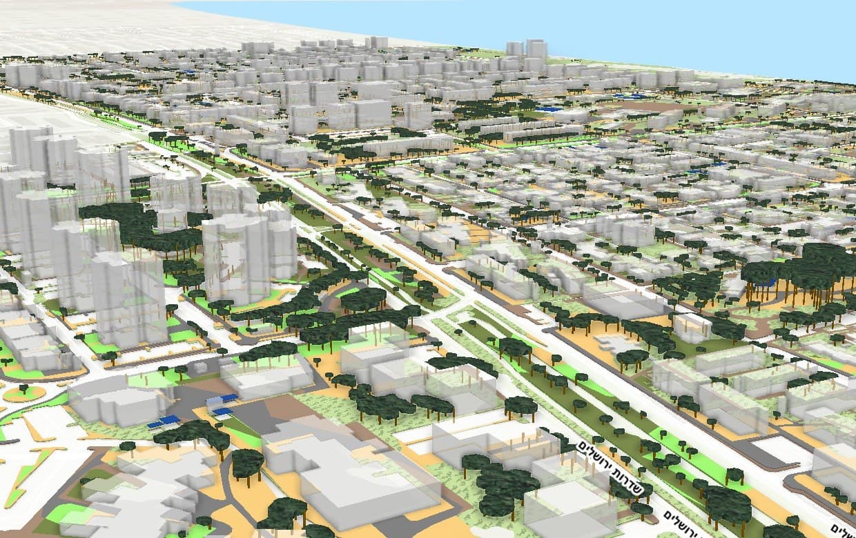
3D scene: towers, trees and streets -
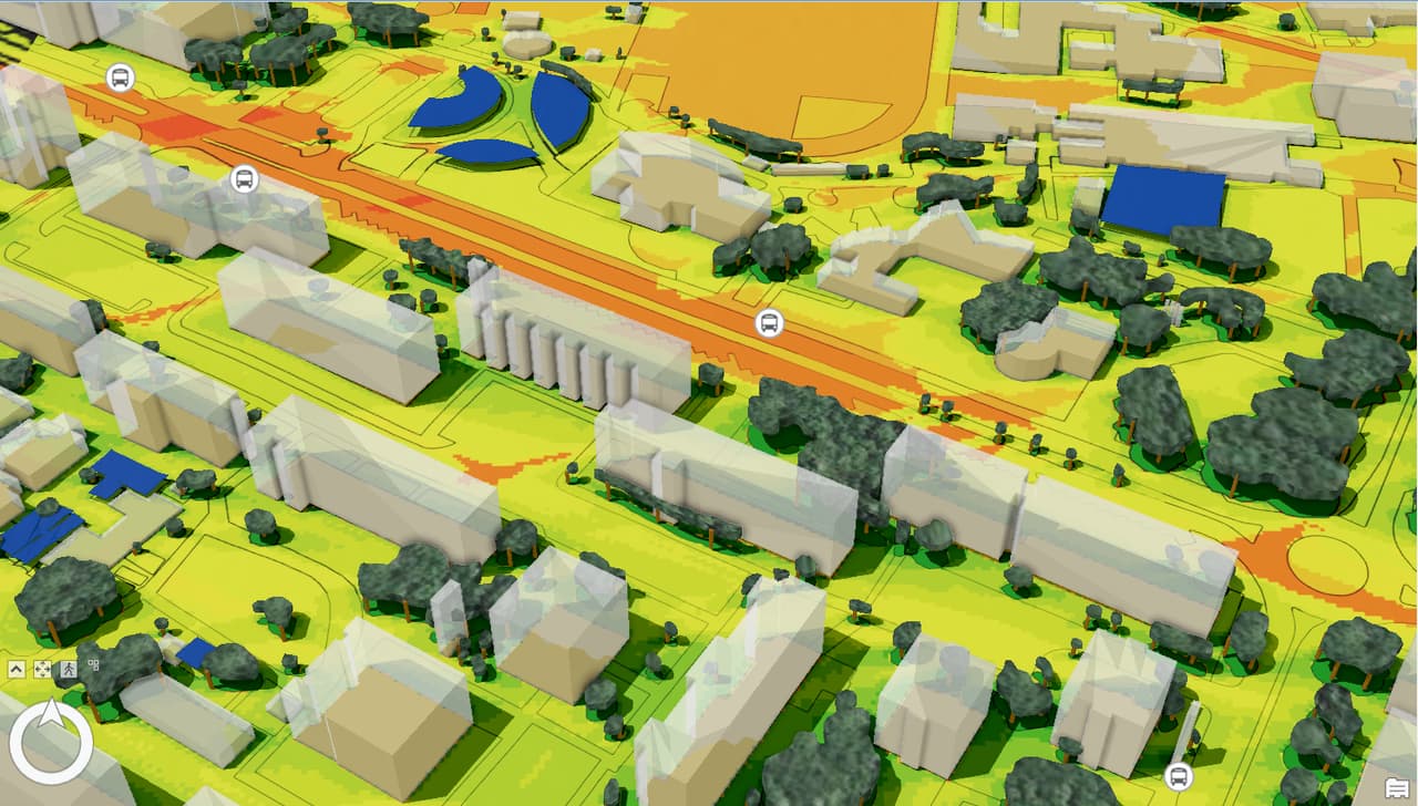
Heat-coloured 3D model around a bus stop
More projects
All projects-
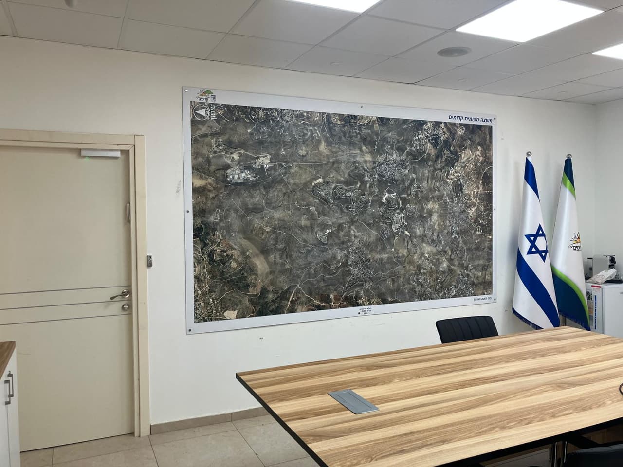
Aerial wall maps for council offices
Wall-sized aerial photo maps with boundaries and base layers for meeting rooms, offices and waiting areas. -
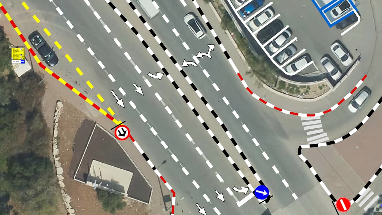
Vehicle survey of traffic signs and road markings
Camera vehicles with on-board AI, a person checking every frame, and every sign placed on the aerial photo: GIS layers of signs, poles and road markings, plus a transport app in ArcGIS Online. -
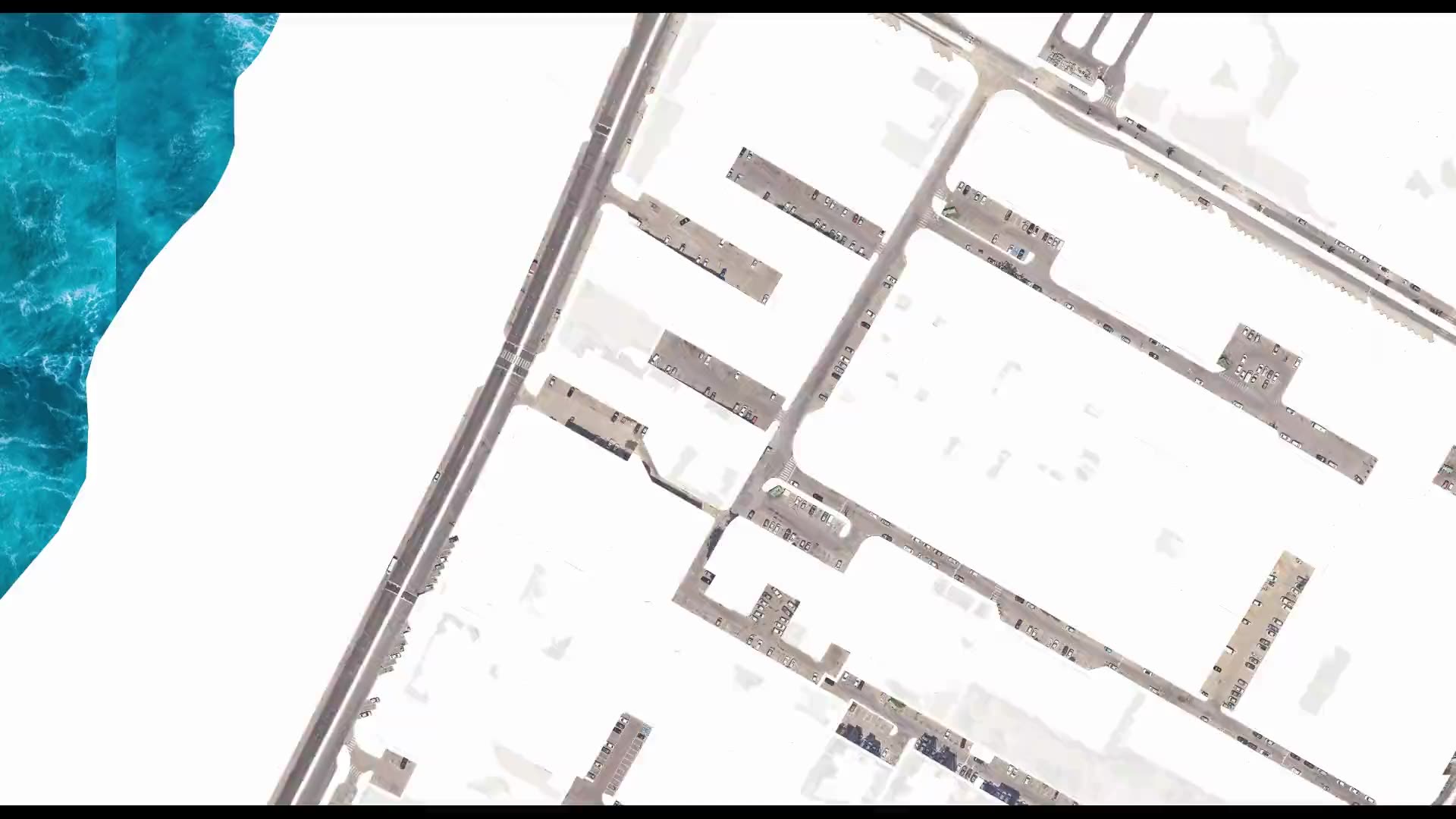
Street-level urban heat-island map – Kiryat Yam
Heat factors coded from the aerial photo, shade computed every half hour, and all of it combined into one shading priority map at the level of streets, paths and bus stops.
Your next project
What do you want to move forward in your organisation?
Tell us what needs solving and we will come back with a proposed approach: a survey, a system, software, or a combination.