
Surveys · A local council
Gardening and water-meter survey with a navigation dashboard
Trees and irrigation water meters in GIS layers, with a dashboard of counters, charts and a map that navigates to any item from a desktop or a phone.
Gardening and water-meter dashboard updating
Project details
- Client
- A local council
- Field
- Surveys
- Source
- Field survey
The challenge
Planning irrigation, pruning and contractor oversight means knowing where every tree and every water meter is. When that information is scattered across spreadsheets and contractors, the green estate is hard to manage.
The solution
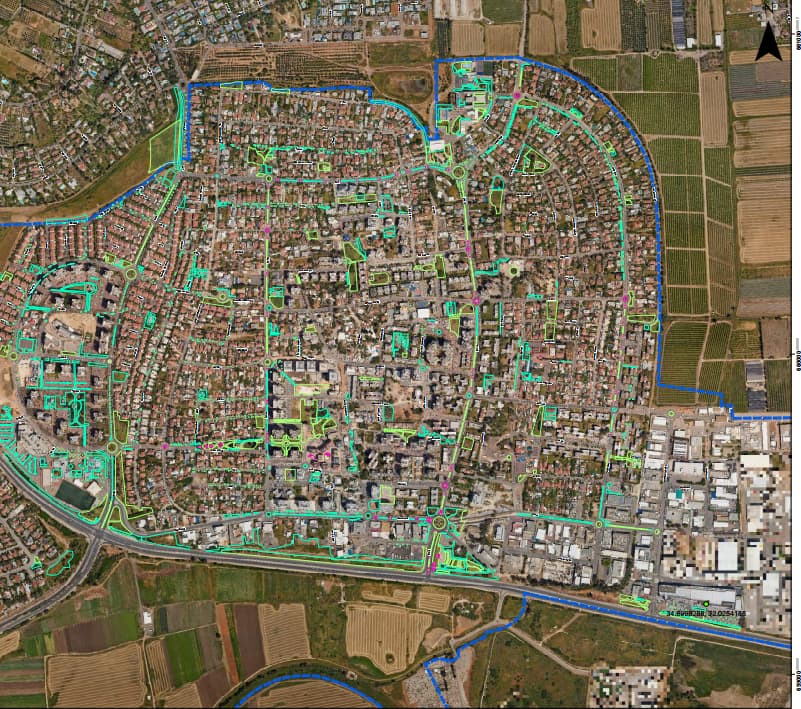
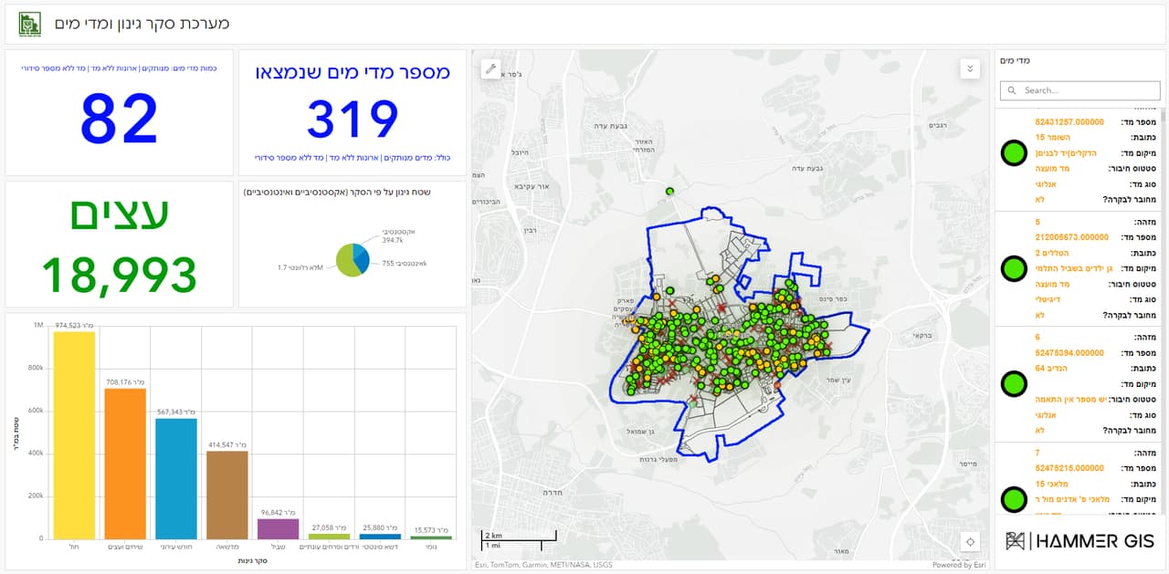
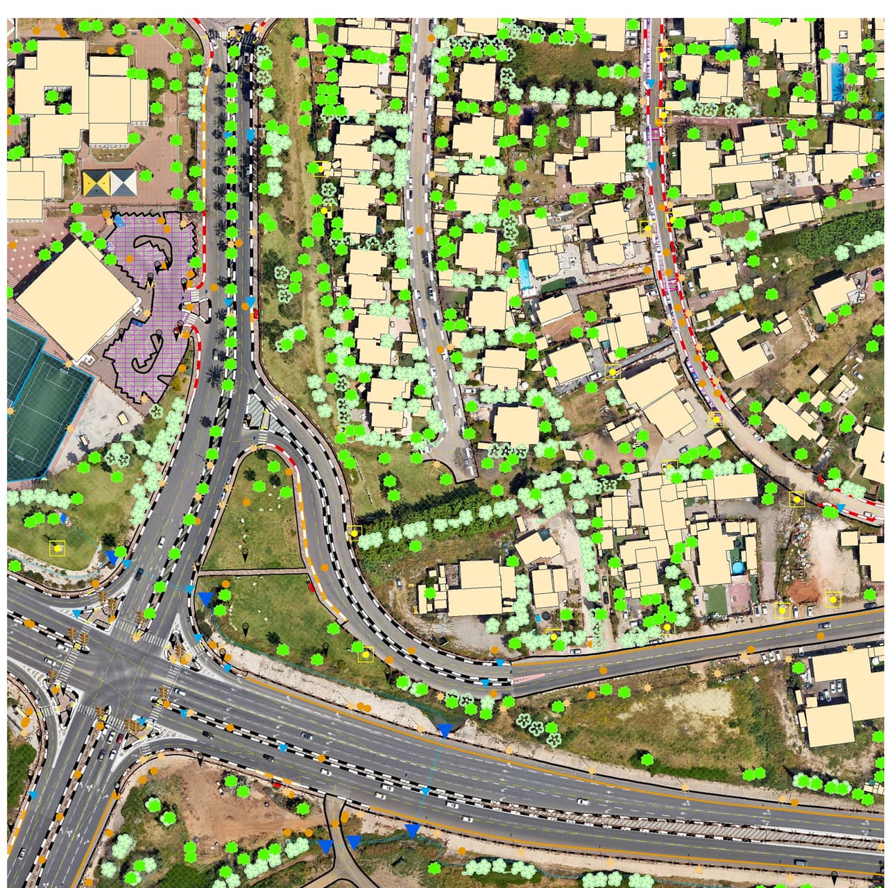
We surveyed the council's green areas and mapped trees and water meters into GIS layers. On top of the layers we built a dashboard with counters, charts and a map, with navigation to any selected item from an office desktop or a phone in the field.
The outcome
Parks managers see the tree and water-meter inventory at a glance, and a field worker navigates straight to the tree or meter that needs checking.
Delivered
- GIS layers of trees and water meters
- Dashboard with counters, charts and a map
- Navigation to items on desktop and phone
More projects
All projects-
Vehicle survey of traffic signs and road markings
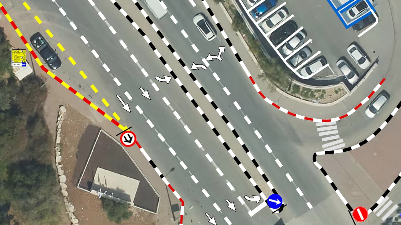
Camera vehicles with on-board AI, a person checking every frame, and every sign placed on the aerial photo: GIS layers of signs, poles and road markings, plus a transport app in ArcGIS Online. -
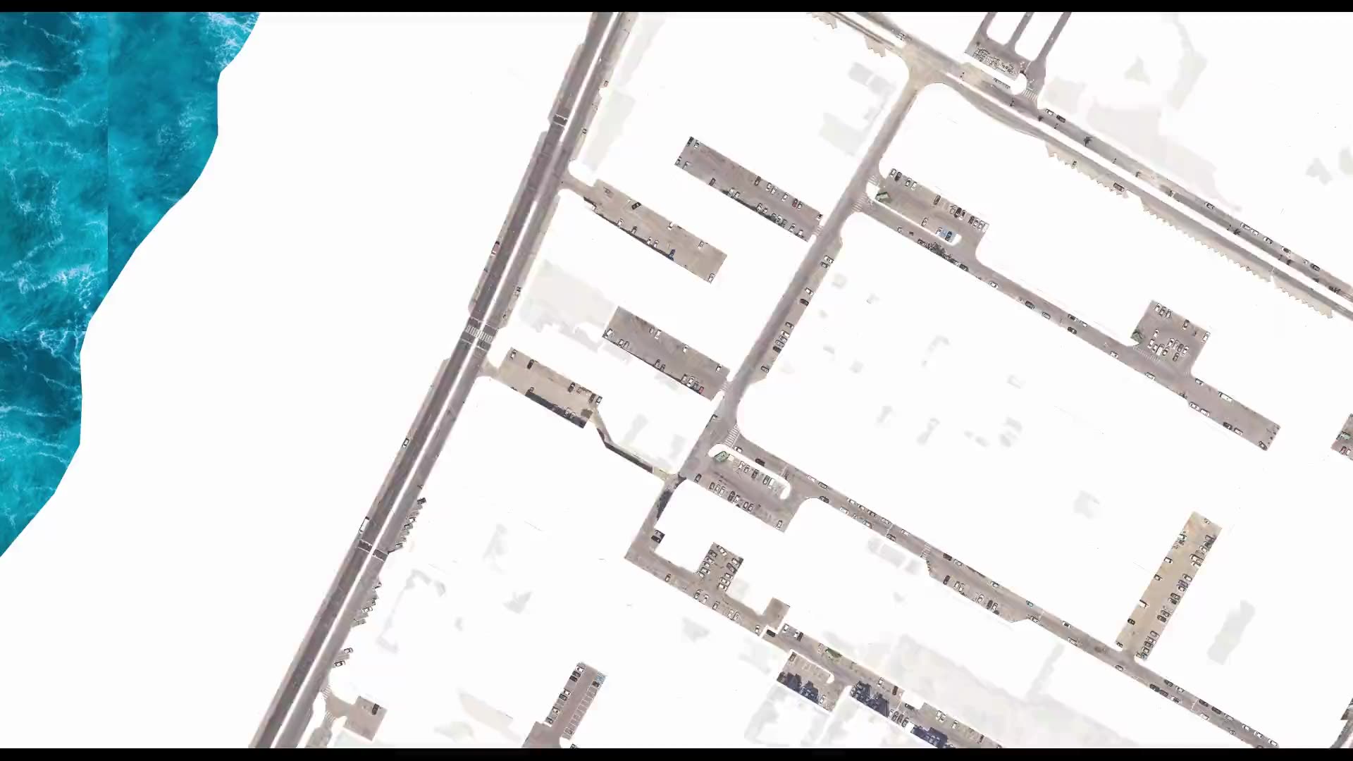
Street-level urban heat-island map – Kiryat Yam
Heat factors coded from the aerial photo, shade computed every half hour, and all of it combined into one shading priority map at the level of streets, paths and bus stops. -
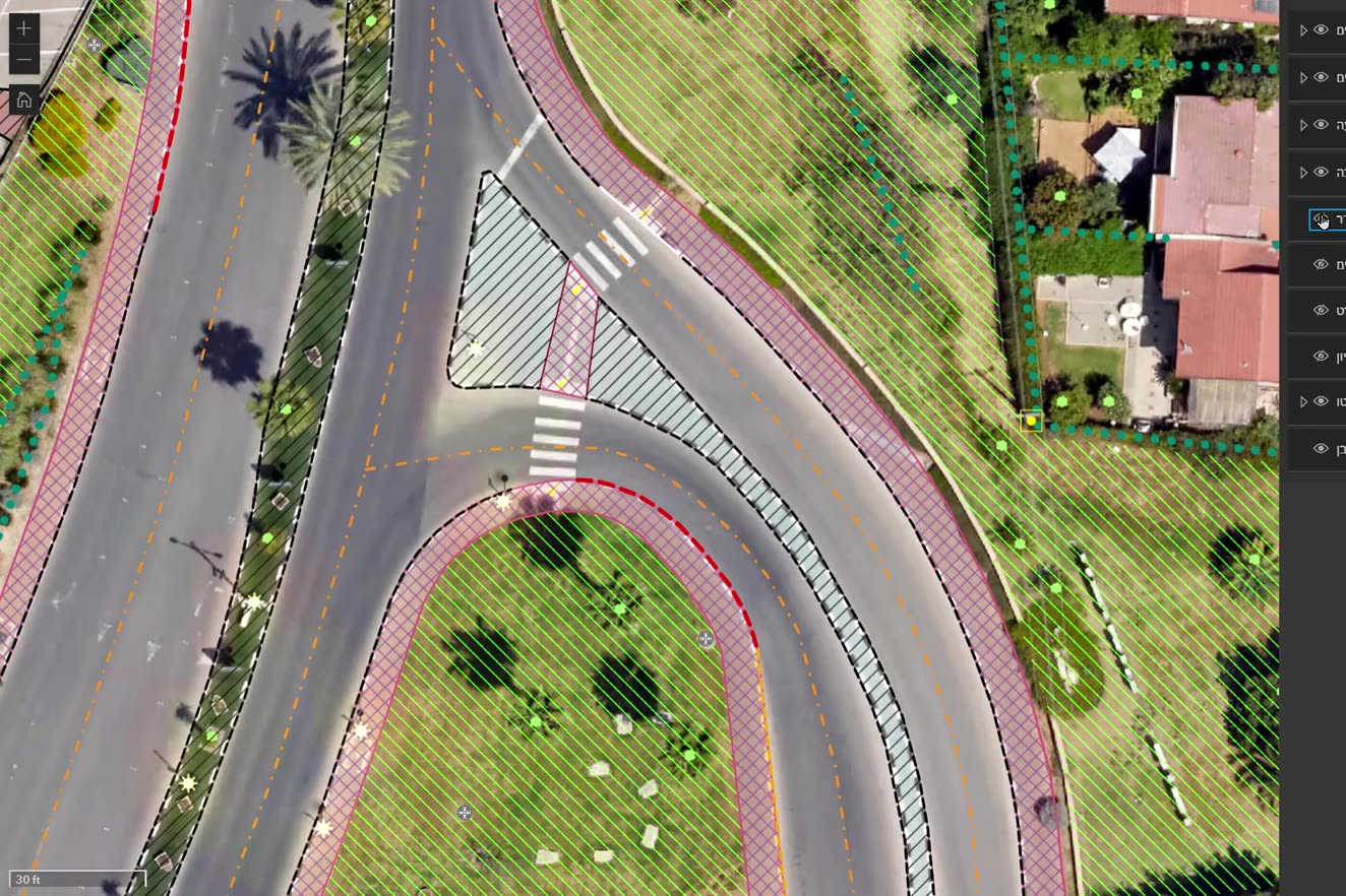
Ortho-graphy: city base layers from an aerial photo
Machine recognition on the authority's own aerial photo, manual completion and full QC: buildings, pavements, drainage, poles, signs, trees and more, with heights, in GIS, DWG and PDF.
Your next project
What do you want to move forward in your organisation?
Tell us what needs solving and we will come back with a proposed approach: a survey, a system, software, or a combination.