
Surveys · A local authority
Street-lighting survey and a lighting-management dashboard
Every lighting pole numbered, photographed and recorded by app straight into GIS, linked to its control box, with a lighting-management dashboard.
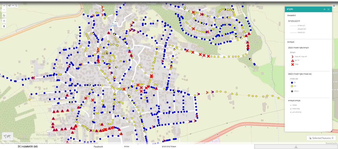
Street-light poles coloured by condition
Project details
- Client
- A local authority
- Field
- Surveys
- Source
- Field survey by mobile app
The challenge
When a report comes in about a dark street light, someone has to know which pole it is, what fixture it carries and which control box feeds it. Without a proper inventory, every fault starts with a search on the ground.
The solution
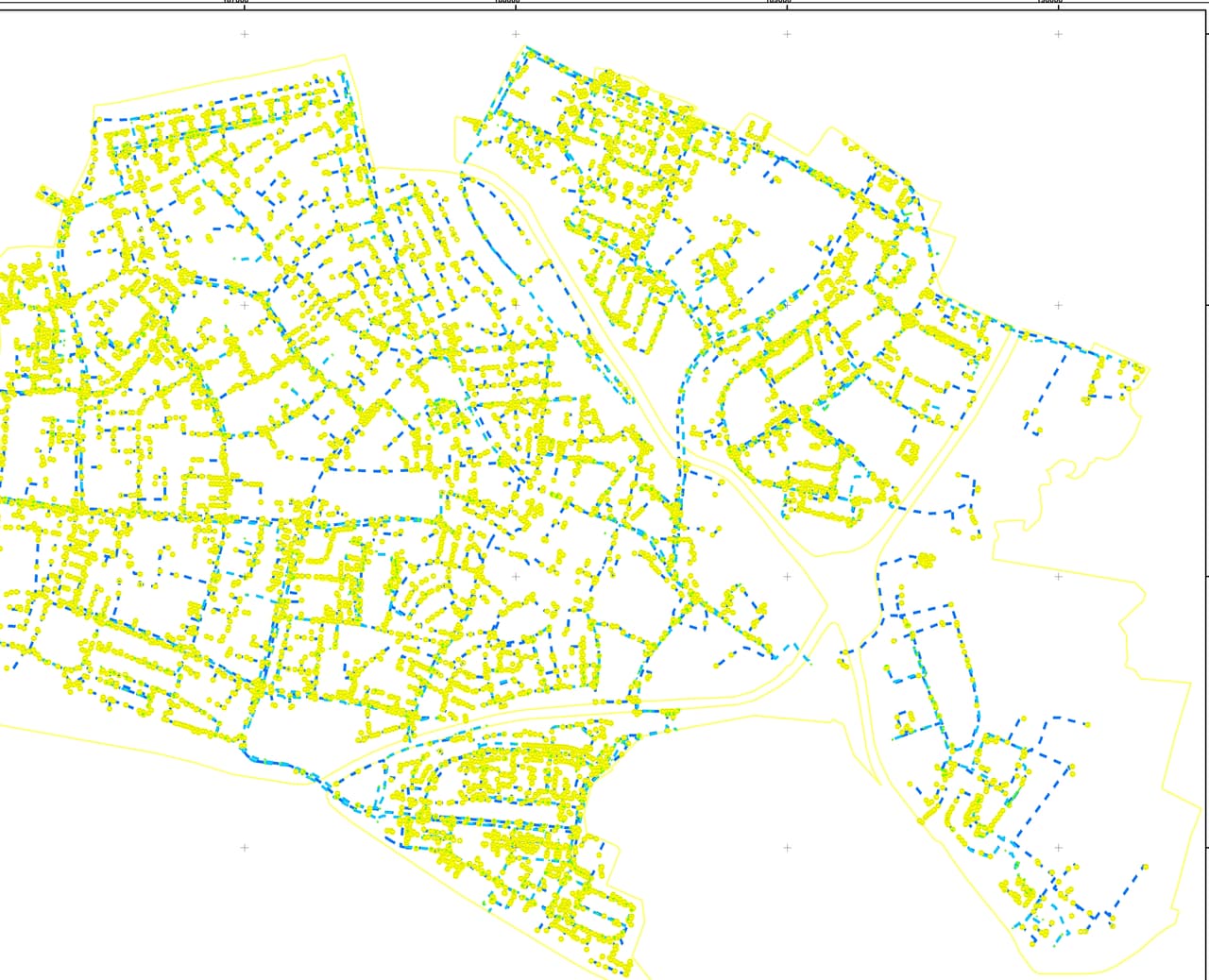
Field surveyors tagged each pole with a weather-proof number, photographed it and recorded in a mobile app its height, pole type, number of fixtures, arm length and colour, along with the control box it belongs to. The data went straight into a GIS layer, and survey progress was shown live on an interactive map.
The outcome
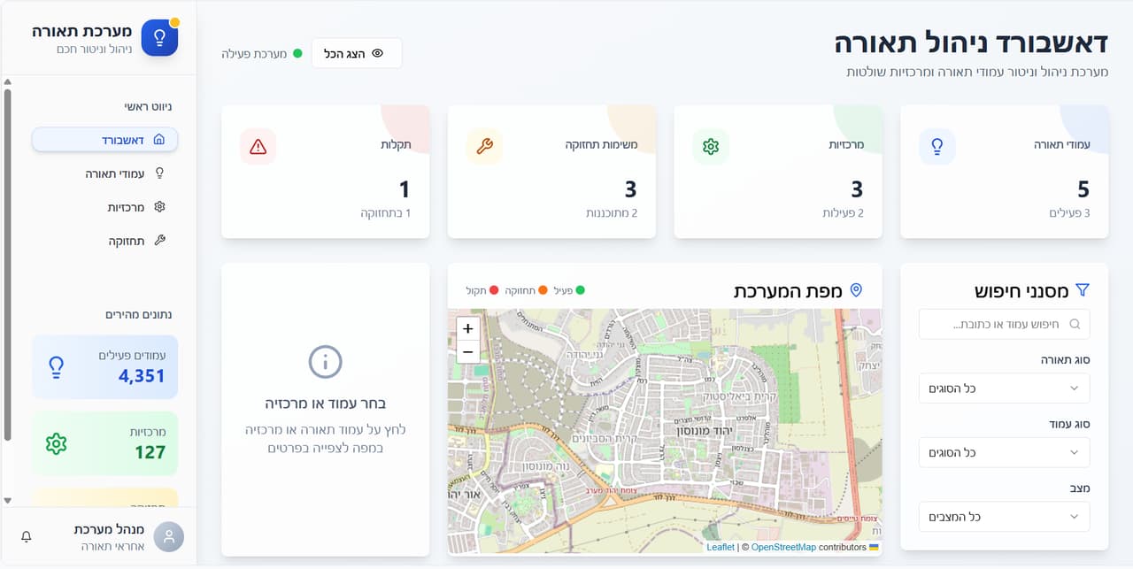
The lighting team finds any pole by its number, sees its photo, attributes and control box, and manages street lighting from one dashboard. The data is also available as AutoCAD, Excel and PDF files.
Delivered
- Lighting-pole layer with a photo per pole
- Each pole linked to its control box
- Interactive map and dashboard for lighting management
- GIS, AutoCAD, Excel and PDF files
More projects
All projects-
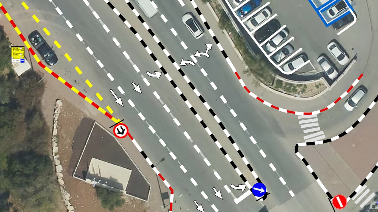
Vehicle survey of traffic signs and road markings
Camera vehicles with on-board AI, a person checking every frame, and every sign placed on the aerial photo: GIS layers of signs, poles and road markings, plus a transport app in ArcGIS Online. -
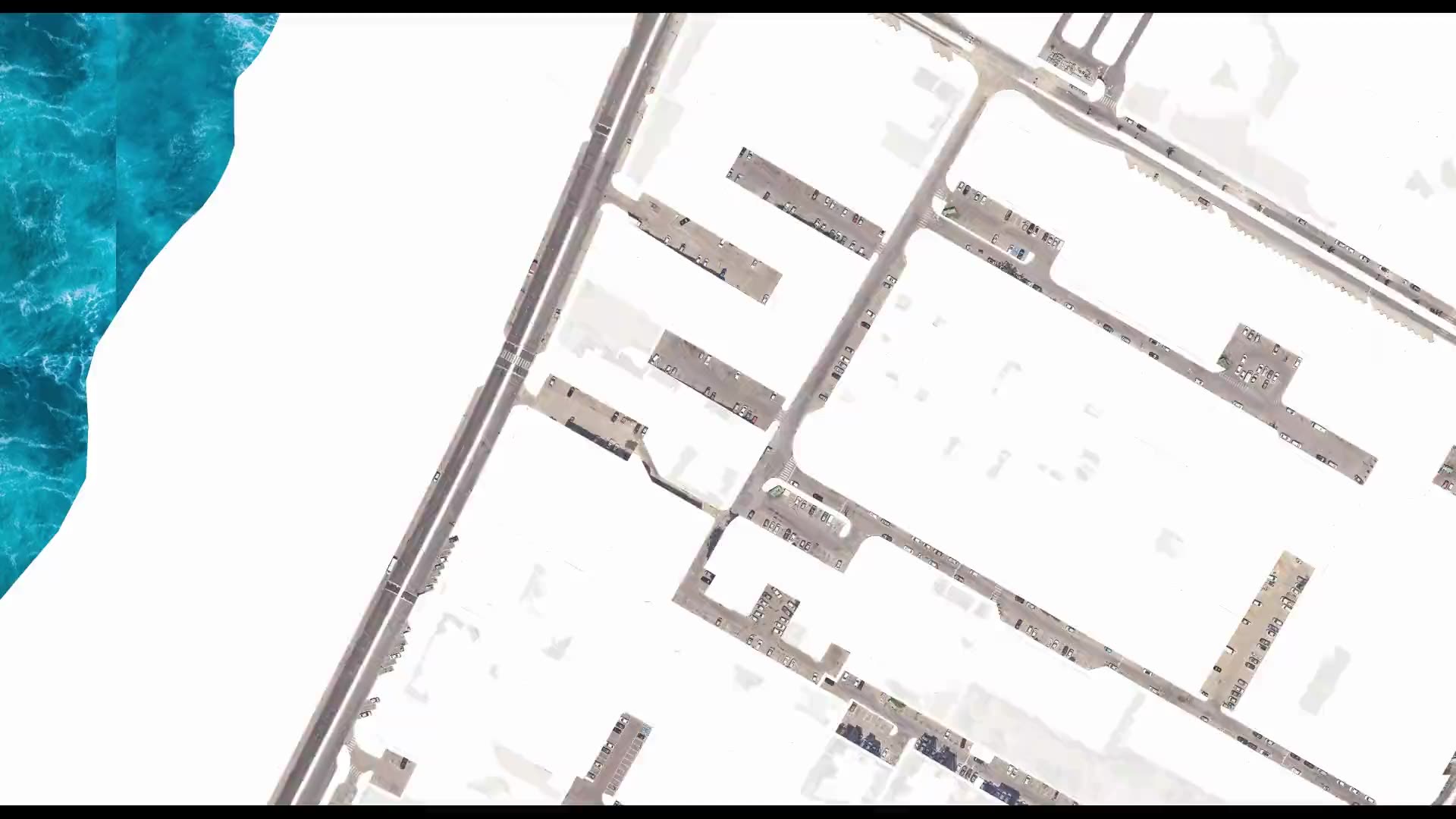
Street-level urban heat-island map – Kiryat Yam
Heat factors coded from the aerial photo, shade computed every half hour, and all of it combined into one shading priority map at the level of streets, paths and bus stops. -
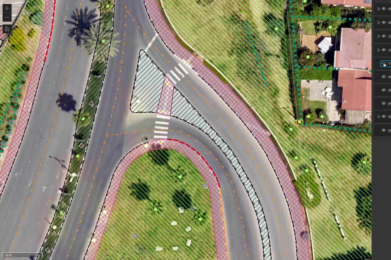
Ortho-graphy: city base layers from an aerial photo
Machine recognition on the authority's own aerial photo, manual completion and full QC: buildings, pavements, drainage, poles, signs, trees and more, with heights, in GIS, DWG and PDF.
Your next project
What do you want to move forward in your organisation?
Tell us what needs solving and we will come back with a proposed approach: a survey, a system, software, or a combination.